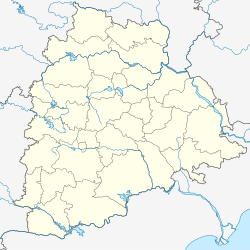
Varni is a town in Nizamabad district in the Indian state of Telangana. Varni Mandal Headquarters is Varni.
Varni | |
|---|---|
| Coordinates: 18°31′56″N 77°53′45″E / 18.53227°N 77.895935°E | |
| Country | |
| State | Telangana |
| District | Nizamabad |
| Area | |
| • Total | 19.13 km2 (7.39 sq mi) |
| Elevation | 430 m (1,410 ft) |
| Population (2019) | |
| • Total | 14,737 |
| • Density | 770/km2 (2,000/sq mi) |
| Languages | |
| • Official | Telugu |
| Time zone | UTC+5:30 (IST) |
| Vehicle registration | TS16 |
| Website | telangana |
Geography
editVarni is located at 18°31′56″N 77°53′45″E / 18.53227°N 77.895935°E. It has an average elevation of 403 metres.[1] It comes under Banswada Legislative and Zaheerabad Parliamentary constituencies. There is a statue of Netaji Shubash Chandra Bose in center of the town, popularly known as center/Bose bomma.
Economy
editThe villages under this mandal live mainly on agriculture and animal husbandry. Nizamsagar Project Canal is the main source of irrigation, though many bore-wells are used in recent times. Milk production is high in this area.
Demography
editAccording to Indian census, 2011, the demographic details of Varni mandal are as follows:[2]
- Total Population: 72,230
- Male Population: 35,311 and Female Population: 36,919
- Total Literates: 36,500

