| Navigation - Qyd (talk · contribs) | ||||||
| User page |
Tool box |
Sand box |
Template Sandbox |
Map Gallery |
Pictures Gallery |
Talk page |
Canada
edit-
Province maps of Canada
-
Census Divisions of Canada
-
National Parks of Canada
-
Rivers in Canada
-
Hidrographic Network of Canada
-
Canada Major Highways
-
Railroad tracks in Canada
Flag maps
editBritish Columbia
edit-
Grater Vancouver Area divsions
-
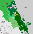
National and Provncial parks in BC
-
Vancouver Island Districts
-
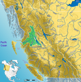
Fraser River watershed
-
Skeena River watershed
Alberta
edit-
National and provincial parks of AB
-
Road network of AB
-
Kananaskis Parks
-
Calgary City map
-
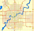
Edmonton City map
-
Calgary +15 system
Other
edit-
Census Divisions in Saskatchewan
-
Census Divisions in Manitoba
-
Road in Cuba
-
Romance languages worldwide extent
-
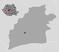
District maps of Romania
-
Gulf Islands, BC
-
Peace River watershed
Relief maps
edit-
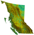
Shaded relief of British Columbia
-
Relief of Alberta
-
Relief of Saskatchewan
-
Relief of Manitoba
-
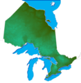
Relief of Ontario
-
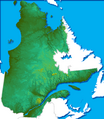
Relief of Quebec
-
Relief of Newfoundland and Labrador
-
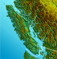
Vancouver Island Relief
-
Relief and water in Western Canada
-
Shaded relief - Pacific Northwest
-
Shaded relief of Romania


