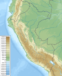
Uqsha Mach'ay (local Quechua uqsha (uqsa) a high altitude grass, Quechua mach'ay cave,[2][3] also spelled Ocshamachay) is a mountain in the Andes of Peru which reaches a height of approximately 4,800 metres (15,748 ft). It is located in the Junín Region, Jauja Province, on the border of the districts of Apata and Molinos.[1]
| Uqsha Mach'ay | |
|---|---|
| Highest point | |
| Elevation | 4,800 m (15,700 ft)[1] |
| Coordinates | 11°37′34″S 75°17′21″W / 11.62611°S 75.28917°W |
| Geography | |
| Location | Peru, Junín Region |
| Parent range | Andes |
References
edit- ^ a b escale.minedu.gob.pe - UGEL map of the Jauja Province (Junín Region)
- ^ Vocabulario-Comparativo-Quechua-Ecuator-Quechua-Ancash-20-Oct-06 Vocabulario-Comparativo-Quechua-Ecuator-Quechua-Ancash] See Spanish: Paja - Ancash Quechua paha, uqsha
- ^ Teofilo Laime Ajacopa (2007). Diccionario Bilingüe: Iskay simipi yuyayk’anch: Quechua – Castellano / Castellano – Quechua (PDF). La Paz, Bolivia: futatraw.ourproject.org.
