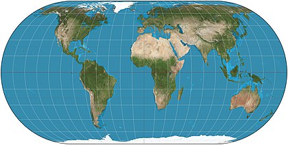
The Eckert IV projection is an equal-area pseudocylindrical map projection. The length of polar lines are half that of the equator, and lines of longitude are semiellipses, or portions of ellipses. It was first described by Max Eckert in 1906.Map: Strebe, using Geocart
