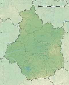
The Rère (French pronunciation: [ʁɛʁ]) is a 53.4-kilometre (33.2 mi) long river in the Cher and Loir-et-Cher departments in central France.[1] Its source is at Presly. It flows generally west. It is a left tributary of the Sauldre, into which it flows at Villeherviers.
| Rère | |
|---|---|
| Location | |
| Country | France |
| Physical characteristics | |
| Source | |
| • location | Presly |
| • coordinates | 47°22′32″N 02°22′24″E / 47.37556°N 2.37333°E |
| • elevation | 207 m (679 ft) |
| Mouth | |
• location | Sauldre |
• coordinates | 47°21′34″N 01°49′41″E / 47.35944°N 1.82806°E |
• elevation | 85 m (279 ft) |
| Length | 53.4 km (33.2 mi) |
| Basin features | |
| Progression | Sauldre→ Cher→ Loire→ Atlantic Ocean |
Departments and communes along its course
editThis list is ordered from source to mouth:
- Cher: Presly, Ménétréol-sur-Sauldre, Nançay,
- Loir-et-Cher: Theillay, La Ferté-Imbault, Châtres-sur-Cher, Selles-Saint-Denis, Langon, Villeherviers,
References
edit

