Piney Creek Ravine State Natural Area is an Illinois state park on 198 acres (80 ha) in Jackson and Randolph Counties, Illinois, United States.

| Piney Creek Ravine State Natural Area | |
|---|---|
IUCN category V (protected landscape/seascape) | |
 Piney Creek Ravine | |
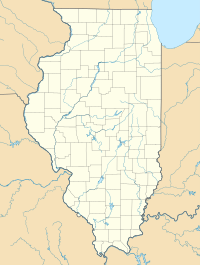
Map of the U.S. state of Illinois showing the location of Piney Creek Ravine State Natural Area | |
| Location | Jackson and Randolph Counties, Illinois, USA |
| Nearest city | Steeleville, Illinois |
| Coordinates | 37°53′56″N 89°38′14″W / 37.89889°N 89.63722°W |
| Area | 198 acres (80 ha) |
| Established | 1972 |
| Governing body | Illinois Department of Natural Resources |
One cliff face in the ravine contains several Native American petroglyphs, along with modern graffiti, which was added to the National Register of Historic Places in 2001.
References
edit- "Piney Creek Ravine State Natural Area". Illinois Department of Natural Resources. Retrieved July 19, 2018.
- USGS. "USGS Welge (IL) Quad". TopoQuest. Retrieved July 5, 2008.

