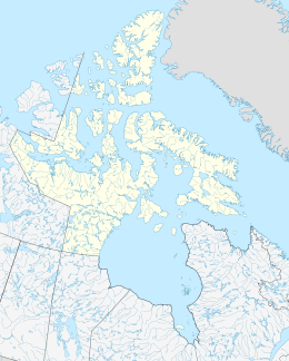
Moodie Island is one of Baffin Island's small, uninhabited, offshore islands and is a part of the Arctic Archipelago within the territory of Nunavut. Located on the southern side of Cumberland Sound, it separates Littlecote Channel to the west from Neptune Bay to the east.[1]
| Geography | |
|---|---|
| Location | Cumberland Sound |
| Coordinates | 64°37′N 65°30′W / 64.617°N 65.500°W |
| Archipelago | Arctic Archipelago |
| Area | 233 km2 (90 sq mi) |
| Administration | |
Canada | |
| Nunavut | Nunavut |
| Region | Qikiqtaaluk |
| Demographics | |
| Population | 0 |
It has an area of 233 km2 (90 sq mi).
The island is extremely mountainous with a highest point of roughly 765 m.
References
edit- ^ "Moodie Island". oceandots.com. Archived from the original on December 23, 2010. Retrieved 2008-04-13.
{{cite web}}: CS1 maint: unfit URL (link)
External links
edit- Moodie Island in the Atlas of Canada - Toporama; Natural Resources Canada

