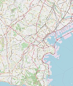
Mitsuzawa-kamichō Station (三ツ沢上町駅, Mitsuzawa-kamichō-eki) is an underground metro station located in Kanagawa-ku, Yokohama, Kanagawa, Japan operated by the Yokohama Municipal Subway’s Blue Line (Line 3). It is 24.8 kilometers from the terminus of the Blue Line at Shōnandai Station.
B22 Mitsuzawa-kamichō Station 三ツ沢上町駅 | |||||||||||
|---|---|---|---|---|---|---|---|---|---|---|---|
 Mitsuzawa-kamichō Station platform | |||||||||||
| General information | |||||||||||
| Location | Mitsuzawa-kamichō 5-9, Kanagawa, Yokohama, Kanagawa (横浜市神奈川区三ツ沢上町5-9) Japan | ||||||||||
| Operated by | Yokohama City Transportation Bureau | ||||||||||
| Line(s) | |||||||||||
| Platforms | 2 side platforms | ||||||||||
| Tracks | 2 | ||||||||||
| Construction | |||||||||||
| Depth | 30.5 m (100 ft) | ||||||||||
| Other information | |||||||||||
| Station code | B22 | ||||||||||
| History | |||||||||||
| Opened | 14 March 1985 | ||||||||||
| Passengers | |||||||||||
| 2008 | 7,281 daily | ||||||||||
| Services | |||||||||||
| |||||||||||
| |||||||||||
Lines
editStation layout
editMitsuzawa-kamichō Station has a dual opposed side platforms serving two tracks, located five stories underground. The station was constructed at a depth of 30.5 m (100 ft) using the NATM method, with rounded tunnels unusual for Japanese metro systems.
Platforms
edit| 1 | ■ Blue Line (Yokohama) | Yokohama, Kannai, Totsuka, Shōnandai |
| 2 | ■ Blue Line (Yokohama) | Shin-Yokohama, Azamino |
History
editMitsuzawa-kamichō Station was opened on 14 March 1985. Platform screen doors were installed in April of 2007.
Surrounding area
edit- Yokohama National University
- Mitsuzawa Park and Mitsuzawa Stadium
- Yokohama Municipal Hospital
- Bugenji Temple
- Mitsuzawa Cemetery
- Kanagawa Prefectural Yokohama Suiran High School
- Mitsuzawa Nursery School(Mitsuzawa Hoikuen)
References
edit- Harris, Ken and Clarke, Jackie. Jane's World Railways 2008-2009. Jane's Information Group (2008). ISBN 0-7106-2861-7
Wikimedia Commons has media related to Mitsuzawa-kamichō Station.
External links
edit- Mitsuzawa-kamichō Station (Blue Line) (in Japanese)
35°28′35.49″N 139°36′19.42″E / 35.4765250°N 139.6053944°E


