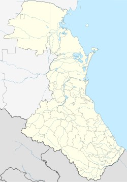
Luchek (Russian: Лучек; Rutul: Лычек (Lychek)) is a rural locality (a selo) and the administrative centre of Luchekskoye Rural Settlement, Rutulsky District, Republic of Dagestan, Russia. Population: 758 (2002 Census);[3] .
Luchek
| |
|---|---|
Selo | |
| Coordinates: 41°36′N 47°18′E / 41.600°N 47.300°E[2] | |
| Country | Russia |
| Region | Republic of Dagestan |
| District | Rutulsky District |
| Time zone | UTC+3:00 |
Luchek (like vliage Rutul) is the historical and political center of the Rutulian state formations. In 1895, Luchek became the Center of the Luchek Wilayah of the Samur okrug (district). In 1926 - the Center of the Luchek Section of the Samur district.[4]
Geography
editLuchek is located at the height of 1679m, 13 km northwest of Rutul (the district's administrative centre) by road.[5]
History
editIn all known medieval documents about the Rutul Federation, Luchek is mentioned as one of the key settlements of this state.[6]
Nationalities
editRutulians live there.
References
edit- ^ Жемчужины Рутульской мысли: Пословицы, поговорки и загадки Рутульского народа
- ^ Село Лучек на карте
- ^ Federal State Statistics Service (21 May 2004). Численность населения России, субъектов Российской Федерации в составе федеральных округов, районов, городских поселений, сельских населённых пунктов – районных центров и сельских населённых пунктов с населением 3 тысячи и более человек [Population of Russia, Its Federal Districts, Federal Subjects, Districts, Urban Localities, Rural Localities—Administrative Centers, and Rural Localities with Population of Over 3,000] (XLS). Всероссийская перепись населения 2002 года [All-Russia Population Census of 2002] (in Russian).
- ^ Е. И. Козубскій (1895). Памятная книжка Дагестанской области. Темиръ-Ханъ-Шура: Русская типографія.
- ^ "Сайт "Рутульцы XXI век" — "Село Лучек"". Archived from the original on 2015-12-08. Retrieved 2015-12-06.
- ^ Л.И. Лавров (1955). "Рутульцы". Сборник Народы Дагестана. Москва. p. 150.
This article needs additional or more specific categories. (June 2023) |

