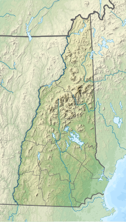
The Little Sugar River is a 13.5-mile-long (21.7 km) river in western New Hampshire in the United States.[1] It is a tributary of the Connecticut River, which flows to Long Island Sound. The river flows parallel to and approximately 5 miles (8 km) south of the Sugar River.
| Little Sugar River | |
|---|---|
| Location | |
| Country | United States |
| State | New Hampshire |
| County | Sullivan |
| Towns | Unity, Charlestown |
| Physical characteristics | |
| Source | |
| • location | Unity |
| • coordinates | 43°18′45″N 72°14′15″W / 43.31250°N 72.23750°W |
| • elevation | 1,740 ft (530 m) |
| Mouth | Connecticut River |
• location | North Charlestown |
• coordinates | 43°18′27″N 72°23′48″W / 43.30750°N 72.39667°W |
• elevation | 285 ft (87 m) |
| Length | 13.5 mi (21.7 km) |
| Basin features | |
| Tributaries | |
| • left | Copeland Brook, Pierce Brook, Swett Brook |
| • right | Meadow Brook, Chase Brook, Sawyer Brook |
The Little Sugar River begins on a tableland in the town of Unity, then drops to the west, cutting a small gorge past the north end of Perry Mountain, and enters the town of Charlestown. The river reaches the Connecticut just west of the village of North Charlestown.
See also
editReferences
edit

