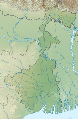
Gorgaburu is the second highest peak of the Ajodhya Hills with a height of 677 metres (2,221 feet). It is the second highest point in southern part of West Bengal. It is located at Western plateau and highlands of Purulia district.[1]
| Gorgaburu | |
|---|---|
| গর্গাবুরু পাহাড় | |
Purulia district, West Bengal, India | |

8km 5miles J H A
R
K H A N D
Chandni Hill △
Gorgaburu △
Chamtuburu △
Subarnarekha River T
Bamni Falls T T
Ajodhya Hill top T X H R
Patardi R R R R R R R R M C
C
C Places in Jhalda subdivision in Purulia district. Key: M: municipality, C: census town, R: rural/ urban centre, H: historical/ religious centre, X: craft centre, T: tourist centre, △: hills Owing to space constraints in the small map, the locations in the larger map on click through may vary slightly. | |
| Highest point | |
| Elevation | 677 m (2,221 ft)[1]: Table 2. |
| Listing | Hills of West Bengal |
| Coordinates | 23°08′37.3″N 86°07′42.8″E / 23.143694°N 86.128556°E[2] |
| Geography | |
| Location | Purulia district, West Bengal, India |
| Parent range | Ajodhya Hills |
It is a conical hill formed out of the granite and gneiss of the hills.[1]
References
edit- ^ a b c Ghosh, A.; Mandal, R.; Chakrabarty, P. (2023). "Inclusive Tourism Adopted to Geosites: A Study in the Ajodhya Hills of West Bengal in India". Tourism and Hospitality. 4 (2): 321–335. doi:10.3390/tourhosp4020020.
- ^ "Google maps: Gorgaburu Hill". Google.

