The Gordon River is a river in the Great Southern region of Western Australia.
| Gordon | |
|---|---|
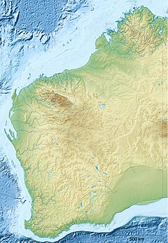
Location of the river mouth in Western Australia | |
| Etymology | George Hamilton Gordon, the 4th Earl of Aberdeen[1] |
| Location | |
| Country | Australia |
| State | Western Australia |
| Region | Great Southern |
| Physical characteristics | |
| Source | Three Wells |
| • location | near Broomehill |
| • elevation | 344 m (1,129 ft) |
| Mouth | confluence with the Frankland River |
• location | north of Frankland River (town) |
• coordinates | 34°12′35″S 117°0′2″E / 34.20972°S 117.00056°E |
• elevation | 207 m (679 ft) |
| Length | 121 km (75 mi) |
| Basin size | 4,652 km2 (1,796 sq mi) |
| Basin features | |
| River system | Frankland River |
| [2][3] | |
Location and features
editThe headwaters of the river rise below Three Wells near Broomehill. The river flows in a south-westerly direction parallel with the Great Southern Highway as far as Tambellup then veers westward and crosses Albany Highway north of Cranbrook and discharges into the Frankland River of which it is a tributary.
The river flows through a number of pools during its journey, including Balbalingup Pool, Ballingup Pool, Boyacup Pool and Poolyup Pool.
The river has four tributaries: Wadjekanup River, Cowenup Brook, Slab Hut Gully and Uannup Brook.
The river was named in 1835 by Surveyor General John Septimus Roe during an expedition from Perth to Albany. The river is named after George Hamilton Gordon, the 4th Earl of Aberdeen, who later became the Prime Minister of the United Kingdom.[1]
See also
editReferences
edit- ^ a b "History of river names – G". Western Australian Land Information Authority. Archived from the original on 19 April 2021. Retrieved 5 September 2011.
- ^ "Map of Gordon River". Bonzle Digital Atlas. 2009. Retrieved 12 March 2009.
- ^ "Bureau of Meteorology - Frnklnd River July 2008 River Basin Summary" (PDF). 2009. Archived from the original (PDF) on 29 October 2009. Retrieved 12 March 2009.
