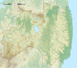
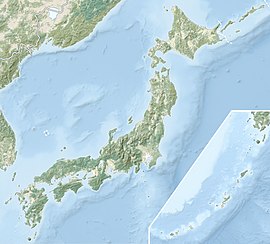
The Furuyashiki Site (古屋敷遺跡, Furuyashiki Iseki) is an archaeological site containing the remnants of a middle Kofun period (6th century AD) settlement located in what is now part of the city of Kitakata, Fukushima in the southern Tōhoku region of Japan. The site was designated a National Historic Site of Japan in 2001.[1]
古屋敷遺跡 | |
| Location | Kitakata, Fukushima, Japan |
|---|---|
| Region | Tōhoku region |
| Coordinates | 37°36′32″N 139°50′08″E / 37.60889°N 139.83556°E |
| Type | Settlement |
| History | |
| Founded | 6th century AD |
| Periods | Kofun period |
| Site notes | |
| Excavation dates | 1981, 1988, 1996 to 2010 |
| Public access | Yes |
Overview
editThe site is located in the northwest of the Aizu Basin, on the natural embankment formed by the Tagawa River and Tanukawa branch of the Aga River. The site measures about 230 meters east-west x 220 meters north-south. Excavation surveys were conducted in 1981, 1988 and from 1996 to 2010, during which time the foundations of large-scale rectangular buildings, warehouse groups, and ritual-related facilities were found. The compound also contained some 20 pit dwellings and was surrounded by a double moat with a width of four to nine meters on the west side. The settlement was protected by a river to the east and by wetlands to the north. From the shards of pottery recovered, the site was inhabited from the late 5th century through middle 6th century AD and is presumed to be the residence of a powerful local Kofun period warlord. Nearby is group of kofun tumuli. It is the largest Kofun period settlement site found in the Tōhoku area.
Then site is located approximately 25 minutes by car from the Aizuwakamatsu IC on the Banetsu Expressway.
See also
editReferences
edit- ^ "古屋敷遺跡" [Furuyashiki Iseki] (in Japanese). Agency for Cultural Affairs.
External links
edit- Kitakata City home page (in Japanese)
- Fukushima Prefectural Tourist information home page (in Japanese)

