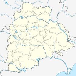
Choppadandi is a town Choppadandi constituency of Karimnagar district in the state of Telangana in India.[1]
Choppadandi | |
|---|---|
| Coordinates: 18°35′00″N 79°10′00″E / 18.5833°N 79.1667°E | |
| Country | |
| State | Telangana |
| District | Karimnagar |
| Talukas | Choppadandi |
| Elevation | 304 m (997 ft) |
| Languages | |
| • Official | Telugu |
| Time zone | UTC+5:30 (IST) |
| PIN | 505415 |
| Vehicle registration | TS |
| Website | telangana |
Geography
editChopadandi is located at 18°35′00″N 79°10′00″E / 18.5833°N 79.1667°E.[2] It has an average elevation of 304 meters (1000 feet). It is located 19 km towards North from District headquarters Karimnagar. The Shiva Keshava temple located in the village. Choppadandi consist of 23 villages and 15 village panchayats.[citation needed]
Transport
editState Highway 7 passes through this town.
References
edit- ^ "District Level Mandal wise list of villages in Karimnagar district" (PDF). Chief Commissioner of Land Administration. National Informatics Centre. Archived from the original (PDF) on 19 December 2014. Retrieved 5 March 2016.
- ^ Falling Rain Genomics.Chopadandi

