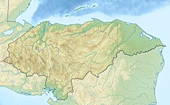
The Chamelecón River is a river in Honduras. It is a major risk river when there are heavy rain or hurricanes, posing a flooding threat for the Sula Valley.
| Chamelecón River | |
|---|---|
| Location | |
| Country | Honduras |
| Physical characteristics | |
| Mouth | |
• coordinates | 15°53′47″N 87°47′22″W / 15.89639°N 87.78944°W |
See also
editReferences
edit- Rand McNally, The New International Atlas, 1993.
- CIA map: Image:Honduras rel 1985.jpg
- UN map: Image:Un-honduras.png
- Google Maps
