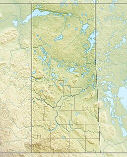
Black Lake is a lake in the Mackenzie River drainage basin in northern Saskatchewan, Canada. It is about 55 kilometres (34 mi) long, 17 kilometres (11 mi) wide, has an area of 464 km2 (179 sq mi), and lies at an elevation of 281 metres (922 ft). The primary inflows are the Chipman River, Cree River, Fond du Lac River, and Souter River; the primary outflow is Fond du Lac River, which flows via the Mackenzie River into the Arctic Ocean.
| Black Lake | |
|---|---|
 | |
| Location | Northern Saskatchewan Administration District |
| Coordinates | 59°12′00″N 105°15′02″W / 59.20000°N 105.25056°W |
| Part of | Mackenzie River drainage basin |
| Primary inflows |
|
| Primary outflows | Fond du Lac River |
| Basin countries | Canada |
| Max. length | 55 km (34 mi) |
| Max. width | 17 km (11 mi) |
| Surface area | 464 km2 (179 sq mi) |
| Surface elevation | 281 m (922 ft) |
| Islands |
|
| Settlements | Black Lake |
| References | [2][3] |
The community of Black Lake is located on the northwest shore of the lake, near where the Fond du Lac River exits.
Fish species
editThe fish species in the lake include walleye, yellow perch, northern pike, lake trout, Arctic grayling, lake whitefish, cisco, white sucker, longnose sucker, and burbot.
See also
editReferences
edit- ^ "NASA Visible Earth (BURN SCARS IN SASKATCHEWAN, CANADA) Note: Dark to light rust coloured areas are burn scars from forest fires". 24 August 2002. Retrieved 14 September 2014.
- ^ "Natural Resources Canada-Canadian Geographical Names (Black Lake)". Retrieved 29 August 2014.
- ^ "Atlas of Canada Toporama". Retrieved 29 August 2014.
- "Toporama - Topographic Map Sheets 74P2, 74P3, 74P4, 74P6, 74P7". Atlas of Canada. Natural Resources Canada. Archived from the original on 31 August 2010. Retrieved 3 February 2010.
- "Saskatchewan - Lake Areas and Elevation (lakes larger than 400 square kilometres)". Natural Resources Canada. 12 August 2009. Retrieved 2 February 2010.

