This article includes a list of references, related reading, or external links, but its sources remain unclear because it lacks inline citations. (October 2024) |
The Taipoiti River is a short river of the Canterbury region of New Zealand's South Island. One of the headwaters of the Waimakariri River, it flows southeast from the Shaler Range to reach the White River.
| Taipoiti River | |
|---|---|
 | |
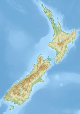
 Route of the Taipoiti River | |
| Location | |
| Country | New Zealand |
| Physical characteristics | |
| Source | Shaler Range |
| • coordinates | 42°56′12″S 171°25′23″E / 42.93666°S 171.423°E |
| Mouth | |
• location | White River |
• coordinates | 42°57′21″S 171°25′56″E / 42.95575°S 171.43228°E |
| Length | 3 km (1.9 mi) |
| Basin features | |
| Progression | Taipoiti River → White River → Waimakariri River → Pegasus Bay → Pacific Ocean |
See also
editReferences
edit"Place name detail: Taipoiti River". New Zealand Gazetteer. New Zealand Geographic Board. Retrieved 12 July 2009.

