You can help expand this article with text translated from the corresponding article in German. (June 2014) Click [show] for important translation instructions.
|
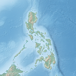
Tago Island is a mountain, which is also the eponymous whole island, in northeastern Iloilo, Philippines. It is part of the municipality of Concepcion.
| Geography | |
|---|---|
| Coordinates | 11°14′23″N 123°7′59″E / 11.23972°N 123.13306°E |
| Archipelago | Concepcion Islands |
| Adjacent to | Visayan Sea |
| Highest elevation | 170 m (560 ft) |
| Administration | |
| Region | Western Visayas |
| Province | Iloilo |
| Municipality | Concepcion |
Location and geography
editMount Tago, covering the whole Tago Island, is east of Panay Island in the Visayan Sea. Part of the Concepcion Islands, Tago is 3.2 kilometres (2 mi) west of Igbon Island and southwest of Pan de Azucar Island.[1] Tago and Pan de Azucar are separated by the impassable Pan Pass. Tago is 170 metres (560 ft) at its highest point.[2]
See also
editReferences
edit- ^ U.S. Coast and Geodetic Survey, Reuben Jacob Christman (1919). United States Coast Pilot, Philippine Islands, Part 1. U.S. Government Printing Office. p. 225. Retrieved 17 June 2014.
- ^ "Sailing Directions (Enroute) Philippine Islands" (PDF). National Geospatial-Intelligence Agency. 2008. p. 92. Retrieved 17 June 2014.
External links
edit
