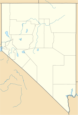
Simonsville is a ghost town in Clark County, Nevada, that was located on the east bank of the Muddy River west of the south end of the Overton Airport in the Moapa Valley.[1]
Simonsville | |
|---|---|
| Coordinates: 36°33′46″N 114°26′40″W / 36.56278°N 114.44444°W | |
| Country | United States |
| State | Nevada |
| County | Clark |
| Elevation | 1,325 ft (404 m) |
| Time zone | UTC-8 (Pacific (PST)) |
| • Summer (DST) | UTC-7 (PDT) |
| GNIS feature ID | 851286[1] |
History
editSimonsville was originally called Mill Point for the grist mill first built there by James Leithead. The name was changed to Simonsville in December 1865, named after Orrawell Simons who would build another mill there in 1866.[1][2] Simonsville was abandoned in 1870 like most of the Mormon farms and settlements in the Moapa Valley, due to a tax dispute with the Nevada state government, and it was never reoccupied.[citation needed]
Today
editThe site of Mill Point and Simonsville are now mostly lost and occupied by a Clark County Flood control bridge and Airport road re-alignments.
References
edit- ^ a b c U.S. Geological Survey Geographic Names Information System: Simonsville (historical)
- ^ Avertt, Walter R. Directory of Southern Nevada Place Names. Revised edition: printed by the author, 1963, p.70

