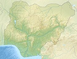
Shira is a Local Government Area of Bauchi State, Nigeria. Its headquarters is in the town of Yana.
Shira, Nigeria | |
|---|---|
LGA and town | |
| Nickname: badali | |
| Motto: badali takuna ramin kura daga ke sai yayanki | |
| Coordinates: 11°30′15″N 10°1′2″E / 11.50417°N 10.01722°E | |
| Country | |
| State | Bauchi State |
| Time zone | UTC+1 (WAT) |
 | |
It has an area of 1,321 km2 and a population of 234,014 at the 2006 census.[1]
The postal code of the area is 750.[2]
Climate
editThe area's temperature ranges from -8°F to 74°F, with warm summers and some cloud cover and chilly, snowy, windy winters.[3]
Temperature
editShira's climate is getting colder, with a positive trend of rising temperatures and a horizontal trend of falling temperatures.[4]
References
edit- ^ HASC, population, area and Headquarters Statoids
- ^ "Post Offices- with map of LGA". NIPOST. Archived from the original on 2012-11-26. Retrieved 2009-10-20.
- ^ "Shira Climate, Weather By Month, Average Temperature (Russia) - Weather Spark". weatherspark.com. Retrieved 2023-08-31.
- ^ "Climate Change Shira". meteoblue. Retrieved 2023-10-24.

