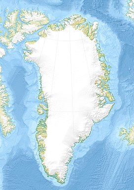
Polkorridoren (meaning "Polar Corridor" in Danish), formerly known as Nordpassagen,[1] is a mountain pass in Peary Land, Greenland. Administratively, it is part of the Northeast Greenland National Park.
| Polkorridoren | |
|---|---|
| Nordpassagen | |
| Elevation | 800 m (2,625 ft) |
| Location | Peary Land, Greenland |
| Range | Roosevelt Range |
| Coordinates | 83°22′11″N 34°21′29″W / 83.369625°N 34.358172°W |
In 1953, a geological expedition went through the Polkorridoren pass crossing the Roosevelt Range from south to north.[1] The Polkorridoren Group is a geological formation named after the pass.[2]
Geography
editThe pass is located in the central / western sector of the Roosevelt Range, east of Gertrud Rask Land. It runs from north to south between the glacial valley of Sands Fjord to the north and the valley of Frigg Fjord to the south. Helvetia Tinde rises to the west.[1][3]
See also
editReferences
edit- ^ a b c E. J. Fränkl (2007-02-16). "Crossing North Peary Land in Summer 1953" (PDF). Retrieved 2022-12-03.
- ^ "Lithostratigraphy and structure of the North Greenland fold belt in Nansen Land". geusjournals.org. Retrieved 2022-12-03.
- ^ "Nunat Aqqi; Stednavne". asiaq.maps.arcgis.com. Retrieved 2022-12-03.
