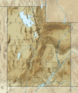
The Onaqui Mountains are a mountain range in southeastern Tooele County, Utah United States.[1]
| Onaqui Mountains | |
|---|---|
 Looking southeast toward the Onaqui Mountains, May 2009 | |
| Highest point | |
| Peak | Stookey Benchmark |
| Elevation | 2,749 m (9,019 ft) |
| Coordinates | 40°14′55″N 112°32′37″W / 40.24861°N 112.54361°W |
| Geography | |
| Country | United States |
| State | Utah |
| County | Tooele County |
| Range coordinates | 40°12′35.7977″N 112°33′37.848″W / 40.209943806°N 112.56051333°W |
Description
editThe range is part of a continuous range with the Stansbury Mountains and Sheeprock Mountains.[2] The highest point is Stookey Benchmark, which reaches 9,020 feet.[3] Rush Valley is on the east side of the range and Skull Valley is to the west.
The Bureau of Land Management administers the Onaqui Mountains Herd Management Area, a 205,394 acres (83,120 ha) home to 450 wild horses.[4] Horses have been in the area since the late 1800s, mostly from local ranch stock. There was concern that genetic variability of the herd was critically low, so horses from other HMAs were added to the herd. The goal was to improve adoptability by selecting for size, color and improved conformation.[5][6]
See also
edit
References
edit- ^ a b U.S. Geological Survey Geographic Names Information System: Onaqui Mountains
- ^ Croft, Mack G. (1956). "Geology of the Northern Onaqui Mountains, Tooele County, Utah" (PDF). Brigham Young University Research Studies. 3 (1). Retrieved 3 June 2020.
- ^ "Stookey Benchmark - Utah Climbing". www.willhiteweb.com. Retrieved 3 June 2020.
- ^ "Onaqui Mountain HMA". Bureau of Land Management. Archived from the original on January 30, 2019.
- ^ "Onaqui Mountain Herd Management Area Fertility Control – Environmental Assessment DOI-BLM-UT-W010-2014-0021-E" (PDF). United States Department of the Interior, Bureau of Land Management. May 2015. Archived from the original (PDF) on March 22, 2016. Retrieved July 18, 2016.
- ^ "Cedar Mountain and Onaqui Mountain Wild Horse Herd Management Areas Capture, Treat and Release Plan – Fertility Control with Limited Removal – Environmental Assessment DOI-BLM-UT-W010-2011-0031-EA" (PDF). United States Department of the Interior Bureau of Land Management. January 2012. Archived from the original (PDF) on October 1, 2016. Retrieved August 1, 2016.
External links
editMedia related to Onaqui Mountains at Wikimedia Commons
