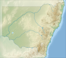
Mount Lindesay, sometimes incorrectly recorded as Mount Lindsay, a mountain located within the Nandewar Range, is situated within the North West Slopes region of New South Wales, Australia. The mountain was formed by the Nandewar extinct volcano which ceased activity about 17 million years ago after 4 million years of activity.[3]
| Mount Lindesay | |
|---|---|
| Mount Lindsay | |
| Highest point | |
| Elevation | 1,373 m (4,505 ft)[1] |
| Coordinates | 30°11′27″S 150°08′45″E / 30.19083°S 150.14583°E[2] |
| Geography | |
| Location | New South Wales, Australia |
| Parent range | Nandewar Range |
| Topo map | Coryah |
| Geology | |
| Mountain type | Extinct volcano |
| Climbing | |
| Easiest route | Walk (hike) |
The mountain has an elevation of 1,373 metres (4,505 ft) above sea level[1] and lies within the Mount Kaputar National Park, east of Narrabri and west of Barraba.
The mountain was named by Sir Thomas Mitchell after Colonel (later Major General) Patrick Lindesay, a Scot commanding the military forces of New South Wales and who was the Acting Governor in 1831.[2][4]
See also
editReferences
edit- ^ a b "Map of Mount Lindsay, NSW". Bonzle Digital Atlas of Australia. Retrieved 1 June 2015.
- ^ a b "Mount Lindesay". Geographical Names Register (GNR) of NSW. Geographical Names Board of New South Wales. Retrieved 1 June 2015.
- ^ Hutton, Geoffrey (1983). Australia's Natural Heritage (2nd ed.). Collins ISBN 0-00-217297-6
- ^ Chisholm, A. H. (1967). "Lindesay, Sir Patrick (1778–1839)". Australian Dictionary of Biography. Canberra: National Centre of Biography, Australian National University. ISBN 978-0-522-84459-7. ISSN 1833-7538. OCLC 70677943. Retrieved 12 August 2014.
