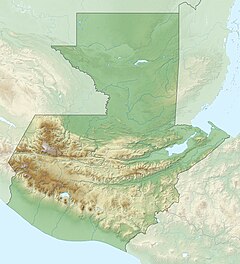
The Río María Linda is a river in southwest Guatemala. Its sources are located south of Lake Amatitlán in the department of Guatemala. The 70 km (43 mi) long river flows southwards through the coastal lowlands of Escuintla and Santa Rosa to the Pacific Ocean.[1]
| María Linda River | |
|---|---|
| Native name | Río María Linda (Spanish) |
| Location | |
| Country | Guatemala |
| Physical characteristics | |
| Source | |
| • location | Guatemala (Guatemala (department)) |
| • coordinates | 14°20′06″N 90°30′41″W / 14.334912°N 90.511293°W |
| • elevation | 1,600 m (5,200 ft) |
| Mouth | |
• location | Pacific Ocean |
• coordinates | 13°56′32″N 90°42′31″W / 13.942148°N 90.708489°W |
• elevation | 0 m (0 ft) |
| Length | 70 km (43 mi) |
| Discharge | |
| • average | 13.1 m3/s (460 cu ft/s) (at Guacamayas) |
The María Linda river basin covers a territory of 2,727 square kilometres (1,053 sq mi).[2]
References
edit- ^ INSIVUMEH. "Mapa Base de Cuencas y Ríos" (jpg). Retrieved 2010-12-24.
- ^ INSIVUMEH. "Principales ríos de Guatemala". Retrieved 2010-12-24.
