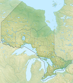
Mameigwess Lake (French: lac Mameigwess) is an irregularly shaped lake in the north of the Unorganized Part of Kenora District in northwestern Ontario, Canada.[1][2][3][4] The lake is in the Hudson Bay drainage basin.
| Mameigwess Lake | |
|---|---|
| lac Mameigwess | |
| Location | Kenora District, Ontario |
| Coordinates | 52°33′45″N 87°51′10″W / 52.56250°N 87.85278°W[1] |
| Type | Lake |
| Part of | Hudson Bay drainage basin |
| Primary inflows | Michikenopik Creek |
| Primary outflows | Fishbasket Lake |
| Basin countries | Canada |
| Surface elevation | 245 metres (804 ft) |
The lake lies at an elevation of 245 metres (804 ft).[5]
The only named inflow is Michikenopik Creek at the southwest corner of the lake; there are numerous other unnamed inflows. The primary outflow is a channel, at the northwest, to Fishbasket Lake, which flows via the Fishbasket River, Winisk Lake, and the Winisk River to Hudson Bay.[2][3]
References
edit- ^ a b "Mameigwess Lake". Geographical Names Data Base. Natural Resources Canada. Retrieved 2020-06-02.
- ^ a b "Toporama (on-line map and search)". Atlas of Canada. Natural Resources Canada. Retrieved 2020-06-02.
- ^ a b "Ontario Geonames GIS (on-line map and search)". Ontario Ministry of Natural Resources and Forestry. 2014. Retrieved 2020-06-02.
- ^ Map 17 (PDF) (Map). 1 : 1,600,000. Official road map of Ontario. Ministry of Transportation of Ontario. 2018-01-01. Retrieved 2020-06-02.
- ^ "Google Earth". Retrieved 2020-06-02.
