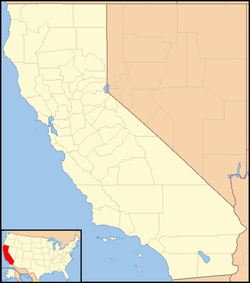
38°48′06″N 120°54′31″W / 38.80167°N 120.90861°W
Lotus | |
|---|---|
| Coordinates: 38°48′06″N 120°54′31″W / 38.80167°N 120.90861°W | |
| Country | United States |
| State | California |
| County | El Dorado County |
| Elevation | 722 ft (220 m) |
| Population (2010) | |
• Total | 238 |
| ZIP code | 95651[2] |
| Area code | 530 |
Lotus (formerly, Marshall and Uniontown) is an unincorporated community in El Dorado County, California, United States.[1] It is located 1 mile (1.6 km) west of Coloma,[3] at an elevation of 722 feet (220 m).[1]
The settlement was established in 1849 and named for James W. Marshall, discoverer of gold.[3] In 1850, the name was changed to Uniontown to commemorate California's admission to the Union.[3] The name was changed to Lotus with the arrival of the post office in 1881.[3] Lotus once had a store, dance hall, and a large Chinese population, including a Chinese cemetery. At its peak, the town was estimated to have 8,000 to 10,000 residents; now it is overshadowed by its neighbor Coloma.[4]
References
edit- ^ a b c U.S. Geological Survey Geographic Names Information System: Lotus, California
- ^ "Lotus ZIP Code". zipdatamaps.com. 2022. Retrieved November 11, 2022.
- ^ a b c d Durham, David L. (1998). California's Geographic Names: A Gazetteer of Historic and Modern Names of the State. Clovis, Calif.: Word Dancer Press. p. 517. ISBN 1-884995-14-4.
- ^ Anderson, Jim (February 12, 1978). "Lotus: A famous neighbor can give a whole town a complex". The Sacramento Bee. Sacramento, CA. Retrieved December 26, 2023.

