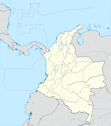
La Primavera Airport (IATA: LPE, ICAO: SKIM) is an airport serving the town of La Primavera, in the Vichada Department of Colombia.
La Primavera Airport | |||||||||||
|---|---|---|---|---|---|---|---|---|---|---|---|
| Summary | |||||||||||
| Airport type | Public | ||||||||||
| Serves | La Primavera, Colombia | ||||||||||
| Elevation AMSL | 390 ft / 119 m | ||||||||||
| Coordinates | 5°28′45″N 70°25′14″W / 5.47917°N 70.42056°W | ||||||||||
| Map | |||||||||||
| Runways | |||||||||||
| |||||||||||
The airport is on the southwest edge of the town, and 6 kilometres (3.7 mi) southeast of the Meta River, the boundary between the Vichada and Casanare Departments of Colombia.
See also
editReferences
edit- ^ Airport information for LPE at Great Circle Mapper.
- ^ Google Maps - La Primavera
External links
edit- OpenStreetMap - La Primavera
- OurAirports - La Primavera
- FallingRain - La Primavera
- Accident history for LPE at Aviation Safety Network
