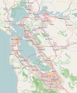
Corinthian Island is a former island in the San Francisco Bay,[2][3][4] that was later attached to the mainland.[1] It is in Marin County, California, by the Tiburon Peninsula.[5][6] Its coordinates are 37°52′22″N 122°27′32″W / 37.87278°N 122.45889°W[1], and the United States Geological Survey gave its elevation as 72 ft (22 m) in 1981.[1] It appears on a 1950 USGS map of the area.[7]
 Corinthian Island in June 2024 | |
| Geography | |
|---|---|
| Location | Northern California |
| Coordinates | 37°52′22″N 122°27′32″W / 37.87278°N 122.45889°W[1] |
| Adjacent to | Sacramento–San Joaquin River Delta |
| Highest elevation | 72 ft (21.9 m)[1] |
| Administration | |
United States | |
| State | |
| County | Marin |
References
edit- ^ a b c d e U.S. Geological Survey Geographic Names Information System: Corinthian Island
- ^ "White-Winged Sea Skippers Open Season Today: Corinthians and Aeolians to Try the Wind". The San Francisco Examiner. San Francisco, California. 1919-04-26. p. 11.
- ^ "Belvedere Council Meeting Tonight". Daily Independent Journal. San Rafael, California. 1961-07-17. p. 2.
- ^ "Belvedere Planners Will Meet Monday". Daily Independent Journal. San Rafael, California. 1961-09-20. p. 36.
- ^ "Twenty owners form Belvedere launch club". The San Francisco Examiner. San Francisco, California. 1908-05-02. p. 15.
- ^ "Corinthian Island is ideal home for the Bay yachtsmen". The San Francisco Examiner. San Francisco, California. 1909-05-01. p. 24.
- ^ United States Geological Survey (1950). "San Francisco North Quadrangle, California" (Map). United States Department of the Interior Geological Survey. 1:24000.


