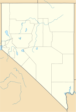
Coppereid, also known as White Cloud City is a ghost town in Churchill County, Nevada. It had a total population of 40 people. The site of Coppereid is south of Lovelock, east of the Carson Sink in the Stillwater Range.[2]
Coppereid, Nevada | |
|---|---|
 Detail from 1910 USGS map of White Cloud Canyon and Coppereid | |
| Coordinates: 39°50′56″N 118°11′28″W / 39.84889°N 118.19111°W[1] | |
| Country | United States |
| State | Nevada |
| County | Churchill |
| Elevation | 4,147 ft (1,264 m) |
Soil
editCoppereid has very soft, shallow, and well drained soils. They are found on mountain slopes. They are mostly dry throughout the year, except for Winter, where they become moist.[3]
History
editFrom 1893 to 1896, a small copper smelter was in operation.[4]
Coppereid was named after John T. Reid. Coppereid had a post office from April 1907 to June 1914.[2]
On December 2, 1909, Fallon became the supply for the site due to the fact that it was closer than Lovelock.[5]
External links
edit- White Cloud City (Coppereid) at GhostTowns.com
- Coppereid at Forgottennevada.com
References
edit- ^ a b U.S. Geological Survey Geographic Names Information System: Coppereid (historical)
- ^ a b Carlson, Helen S. (1985). Nevada Place Names: A Geographical Dictionary. Reno: University of Nevada Press. p. 86. ISBN 087417094X. Retrieved May 15, 2020.
- ^ "Coppereid Series". Natural Resources Conservation Service Nevada. United States Department of Agriculture. May 5, 2016. Retrieved July 11, 2020.
- ^ Tingley, Joseph V. (1990). "White Cloud District" (PDF). Mineral Resource Inventory. 90–1. Prepared for the Bureau of Land Management: 238 – via American Pacific Mining Corporation.
- ^ "Fallon Supply Point for the Mines of Coppereid". Nevada Mining News. December 3, 2009. Retrieved July 11, 2020 – via Newspapers.com.

