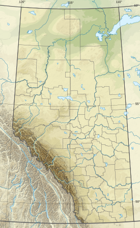
The Colin Range is a mountain range of the Canadian Rockies located directly northeast of the Jasper townsite in Jasper National Park, Canada.
| Colin Range | |
|---|---|
 Colin Range seen from the Maligne Lake road | |
| Highest point | |
| Peak | Sirdar Mountain |
| Elevation | 2,804 m (9,199 ft)[1] |
| Listing | Mountains of Alberta |
| Coordinates | 52°55′36″N 117°48′42″W / 52.92667°N 117.81167°W[2] |
| Geography | |
| Country | Canada |
| Province | Alberta |
| Range coordinates | 52°58′N 117°57′W / 52.967°N 117.950°W[3] |
| Parent range | Canadian Rockies |
| Topo map | NTS 83C13 Medicine Lake[3] |
List of Mountains
editThis range includes the following mountains:
| Name | Elevation | Prominence | Coordinates | ||
|---|---|---|---|---|---|
| m | ft | m | ft | ||
| Sirdar Mountain | 2,804 | 9,199 | 1,274 | 4,180 | 52°55′36″N 117°48′42″W / 52.92667°N 117.81167°W |
| Mount Colin | 2,687 | 8,816 | 307 | 1,007 | 53°0′6″N 117°59′17″W / 53.00167°N 117.98806°W |
| Mount Dromore | 2,660 | 8,730 | 360 | 1,180 | 52°56′18″N 117°52′53″W / 52.93833°N 117.88139°W |
| Grisette Mountain | 2,620 | 8,600 | 240 | 790 | 52°56′44″N 117°55′48″W / 52.94556°N 117.93000°W |
| Colin Ridge[4] | 2,563 | 8,409 | |||
| Hawk Mountain | 2,553 | 8,376 | 343 | 1,125 | 53°0′52″N 118°1′5″W / 53.01444°N 118.01806°W |
| Roche Bonhomme | 2,495 | 8,186 | 160 | 520 | 52°56′41″N 117°56′36″W / 52.94472°N 117.94333°W |
| Morro Peak | 1,676 | 5,499 | 109 | 358 | 53°2′0″N 118°4′4″W / 53.03333°N 118.06778°W |
See also
editReferences
edit- ^ "Sirdar Mountain". cdnrockiesdatabases.ca. Retrieved 2023-07-10.
- ^ "Sirdar Mountain". Geographical Names Data Base. Natural Resources Canada. Retrieved 2021-01-05.
- ^ a b "Colin Range". Geographical Names Data Base. Natural Resources Canada. Retrieved 2021-01-05.
- ^ "Colin Ridge". Geographical Names Data Base. Natural Resources Canada. Retrieved 2023-08-22.
