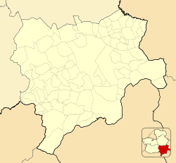
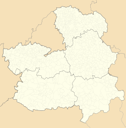
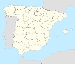
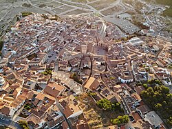
Chinchilla de Montearagón or Chinchilla de Monte-Aragón, or simply Chinchilla, is a municipality in the province of Albacete in Castile-La Mancha, Spain. Spreading across a total area of 679.27 km2 (262.27 sq mi),[2] the municipality has population of 4,182 (2018).
Chinchilla de Monte-Aragón | |
|---|---|
 | |
| Coordinates: 38°55′15″N 1°43′33″W / 38.92083°N 1.72583°W | |
| Country | Spain |
| Autonomous community | Castilla–La Mancha |
| Province | Albacete |
| Area | |
• Total | 679.27 km2 (262.27 sq mi) |
| Elevation | 907 m (2,976 ft) |
| Population (2018)[1] | |
• Total | 4,182 |
| • Density | 6.2/km2 (16/sq mi) |
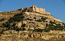
Description
editThis town is located 15 km from the capital of the province. In 2008, with 3,660 inhabitants, according to INE data, but according to water consumption data are estimated about 5,000 since many are not registered in this town used by many as a dormitory town of Albacete.[citation needed] It includes the hamlets of Casa Blanca de los Rioteros, Estación de Chinchilla, La Felipa, Horna, Pinilla, Pozo Bueno, Pozo de la Peña and El Villar de Chinchilla (wines produced in the latter parish belong to the Almansa Denominación de Origen). The Church of Santa María del Salvador stands in the town.
Historical data
editIn the short-lived 1822 territorial division of Spain, Chinchilla was to be the provincial capital;[3] the 1833 territorial division of Spain, which remains largely in effect today, moved the capital to Albacete.[4]
Since 1991 the municipality has been governed by the Spanish Socialist Workers' Party (PSOE).[citation needed]
In 2003, two trains collided overnight, leaving 19 dead and 50 injured.
Gallery
edit-
Castle of Chinchilla of Monte-Aragón
-
Doorway of the castle
-
La Mancha Square
-
Church of Chinchilla, interior
-
the so-called Mausoleum of Pozo Moro. Sandstone Iberian mausoleum, built at the end of the 6th century BC in Chinchilla de Monte-Aragón.
-
Detail of the Mausoleum of Pozo Moro.
-
"La Verónica" during the Holy week
-
Eolic park in Chinchilla
References
edit- ^ Municipal Register of Spain 2018. National Statistics Institute.
- ^ "Datos del registro de entidades locales". Ministerio de Hacienda y Administraciones Públicas.
- ^ (in Spanish) División provisional del territorio español de 27 de Enero de 1822 Archived December 14, 2009, at the Wayback Machine, the text of the proposed 1822 territorial division of Spain, Instituto de Historia, Consejo Superior de Investigaciones Cientificas (CSIC, Spanish National Research Council). Accessed online 2010-01-03.
- ^ (in Spanish) Real Decreto de 30 de noviembre de 1833 on Wikisource;
Real Decreto de 30 de noviembre de 1833 Archived July 22, 2012, at the Wayback Machine on the official web site of the government of the Canary Islands, accessed 2009-12-31.
External links
edit- . Encyclopædia Britannica. Vol. V (9th ed.). 1878. p. 673.

