46°32′40″N 65°06′49″W / 46.54434°N 65.113478°W
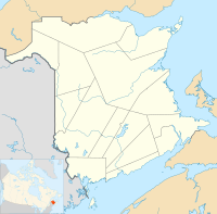
Location of Bass River in New Brunswick


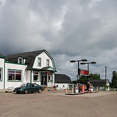
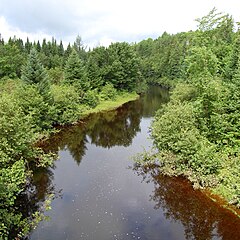
Bass River is a small farming and forestry community located in Weldford Parish, New Brunswick[1] that developed around the Bass River, a tributary of the Richibucto River. Bass River is located on the intersection of Route 116 and Route 490.
History and overview
editBass River had a population of 400 in 1871, which declined to 350 by 1898.[2]
See also
editReferences
edit- ^ "Search the Canadian Geographical Names Database (CGNDB)". Government of Canada. 2021-02-16. Retrieved 2024-11-30.
- ^ "Provincial Archives of New Brunswick". archives.gnb.ca. Archived from the original on 2019-12-05. Retrieved 2024-12-12.
