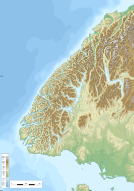
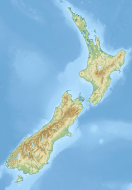
The Barrier River is a river in the Mount Aspiring National Park in northern Southland, New Zealand. It is a tributary of the Pyke River, which it enters about 1 kilometre (0.6 mi) south of Lake Wilmot.[1] The Barrier River is fed by three glaciers and ice fields:
- Demon Gap Icefall (North Branch)
- Silver Glacier (via Silver Stream, between the branches)
- Barrier Ice Stream (South Branch)
| Barrier River | |
|---|---|
 Route of the Barrier River | |
| Native name | Waikea |
| Location | |
| Country | New Zealand |
| Region | Southland |
| District | Southland |
| Physical characteristics | |
| Source | Barrier River North Branch |
| • location | The Furies Ridge |
| • coordinates | 44°23′24″S 168°20′17″E / 44.3900°S 168.3381°E |
| 2nd source | Barrier River South Branch |
| • location | Barrier Ice Stream |
| • coordinates | 44°25′42″S 168°20′05″E / 44.4284°S 168.3348°E |
| Mouth | |
• location | Pyke River |
• coordinates | 44°24′50″S 168°12′45″E / 44.4139°S 168.2126°E |
| Basin features | |
| Progression | Barrier River → Pyke River → Hollyford River / Whakatipu Kā Tuka → Tasman Sea |
| Tributaries | |
| • left | Silver Stream (North Branch), |
| • right | Saddle Stream, Red Stream |
See also
editReferences
edit- ^ "Place name detail: Waikea". New Zealand Gazetteer. New Zealand Geographic Board. Retrieved 23 September 2022.


