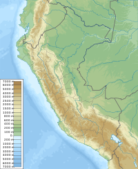
Apacheta (Aymara for the place of transit of an important pass in the principal routes of the Andes; name for a stone cairn in the Andes, a little pile of rocks built along the trail in the high mountains,[2][3] also spelled Apacheta) is a 5,168-metre-high (16,955 ft) mountain in the Andes of Peru. It is located in the Puno Region, Carabaya Province, Crucero District. Apachita lies west of the peaks of Ariquma, north of Ariquma Lake and northeast of Wiluyuq Qucha and the peak of Wiluyuq Urqu.[1][4]
| Apachita | |
|---|---|
 Apachita at the Lima Botanical Garden | |
| Highest point | |
| Elevation | 5,168 m (16,955 ft)[1] |
| Coordinates | 14°17′05″S 69°48′29″W / 14.28472°S 69.80806°W |
| Geography | |
| Location | Peru |
| Parent range | Andes |
References
edit- ^ a b Peru 1:100,000, Cuyocuyo 2942, Map prepared and published by the Defense Mapping Agency, Hydrographic/Topographic Center, Bethesda, MD, 1993
- ^ "Illa-a.org". www.illa-a.org. Retrieved Sep 10, 2020.
- ^ Teofilo Laime Ajacopa (2007). Diccionario Bilingüe: Iskay simipi yuyayk’anch: Quechua – Castellano / Castellano – Quechua (PDF). La Paz, Bolivia: futatraw.ourproject.org.
- ^ escale.minedu.gob.pe - UGEL map of the Sandia Province (Puno Region)
