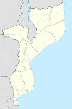
Ancuabe is a town in eastern Mozambique in Ancuabe District, Cabo Delgado Province. It is the seat of the district. According to the 1997 census it has a population of 12,561.
Ancuabe | |
|---|---|
| Coordinates: 12°59′S 39°51′E / 12.983°S 39.850°E | |
| Country | |
| Provinces | Cabo Delgado Province |
| District | Ancuabe District |
| Population (1997) | |
• Total | 12,561 |
Geography
editAncuabe is situated 1.2 miles (1.9 km) away from Ntete, 2.1 miles (3.4 km) away from Banjira and 1.7 miles (2.7 km) away from Muero.
Economy
editMining plays a key role in the local economy. In 1989 the Irish-based Kenmare Resources joined the Government in a joint venture with the Mozambiquan government to exploit graphite deposits in Ancuabe.
Graphites de Ancuabe Ltda. operated a sizeable mine and plant near Ancuabe from 1994 to 1999.[1] The mined graphite would be transported east to the larger town of Pemba on the coast where the mined material would be cut and processed. Due to a fall in graphite prices work in the mine was suspended in 1999.[2] In 2007, the Mozambique government announced its intention to re-open the mine, depending on the supply of electricity from the Cahora Bassa dam.[3]
Graphite mining in the Ancuabe region resumed in 2017 with the opening of a mine operated by the Dutch firm AMG.[4]
Transport
editThe nearest airport is at Pemba Airport, 39 miles (63 km) away.
References
edit- ^ Kogel, Jessica Elzea (2006). Industrial Minerals & Rocks: Commodities, Markets, and Uses. Society for Mining, Metallurgy, and Exploration. p. 512. ISBN 0-87335-233-5.
- ^ Fauvet, Paul (2000-10-12). "Mozambique: growth with poverty". Africa Recovery. Retrieved 2008-06-26.
- ^ "Resuming Graphite Production Dependent On Electricity". Agencia de Informacao de Mocambique. 2007-09-24.
- ^ https://amg-nv.com/investors/press-release/amg-advanced-metallurgical-group-n-v-announces-completion-of-ancuabe-graphite-mine-commissioning-process/ AMG press release on opening of mine
12°59′S 39°51′E / 12.983°S 39.850°E
