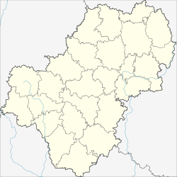
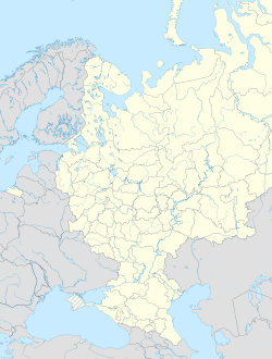
Serpeysk (Russian: Серпейск; Polish: Sierpiejsk) is a village (selo) in Meshchovsky District of Kaluga Oblast, Russia, located on the Serpeyka River.
Serpeysk
Серпейск | |
|---|---|
 Saint Nicholas church | |
| Coordinates: 54°20′07″N 34°59′20″E / 54.33528°N 34.98889°E | |
| Country | Russia |
| Federal subject | Kaluga Oblast |
| Administrative district | Meshchovsky District |
| First mentioned | 1406 |
| Population | |
| • Total | 658 |
| Time zone | UTC+3 (MSK |
| Postal code(s)[3] | |
| OKTMO ID | 29627440101 |
The locality has a canting arms, depicting two sickles, with Russian: серп, Polish: sierp meaning sickle.
History
editIt was first noted in 1406 as a military fort of the Grand Duchy of Lithuania on its border with Muscovy. Later on, it was annexed to Muscovy by Ivan III of Russia, then recaptured by the Polish–Lithuanian Commonwealth,[4] and eventually incorporated into Muscovite Russia after the signing of Treaty of Polyanovka which marked the end of the Smolensk War in 1634. Once stripped of its garrison, the town dwindled into oblivion and became of supernumerary town category. The oldest surviving buildings are two churches, one dating from 1771 and the other constructed in the 1780s. In the late 19th century, it had a population of 1,818.[4]
References
edit- ^ Russian Federal State Statistics Service (2011). Всероссийская перепись населения 2010 года. Том 1 [2010 All-Russian Population Census, vol. 1]. Всероссийская перепись населения 2010 года [2010 All-Russia Population Census] (in Russian). Federal State Statistics Service.
- ^ "Об исчислении времени". Официальный интернет-портал правовой информации (in Russian). 3 June 2011. Retrieved 19 January 2019.
- ^ Почта России. Информационно-вычислительный центр ОАСУ РПО. (Russian Post). Поиск объектов почтовой связи (Postal Objects Search) (in Russian)
- ^ a b Słownik geograficzny Królestwa Polskiego i innych krajów słowiańskich, Tom X (in Polish). Warszawa. 1889. p. 457.
{{cite book}}: CS1 maint: location missing publisher (link)


