
Size of this PNG preview of this SVG file: 257 × 177 pixels. Other resolutions: 320 × 220 pixels | 640 × 441 pixels | 1,024 × 705 pixels | 1,280 × 882 pixels | 2,560 × 1,763 pixels.
Original file (SVG file, nominally 257 × 177 pixels, file size: 154 KB)
| This is a file from the Wikimedia Commons. Information from its description page there is shown below. Commons is a freely licensed media file repository. You can help. |
Summary
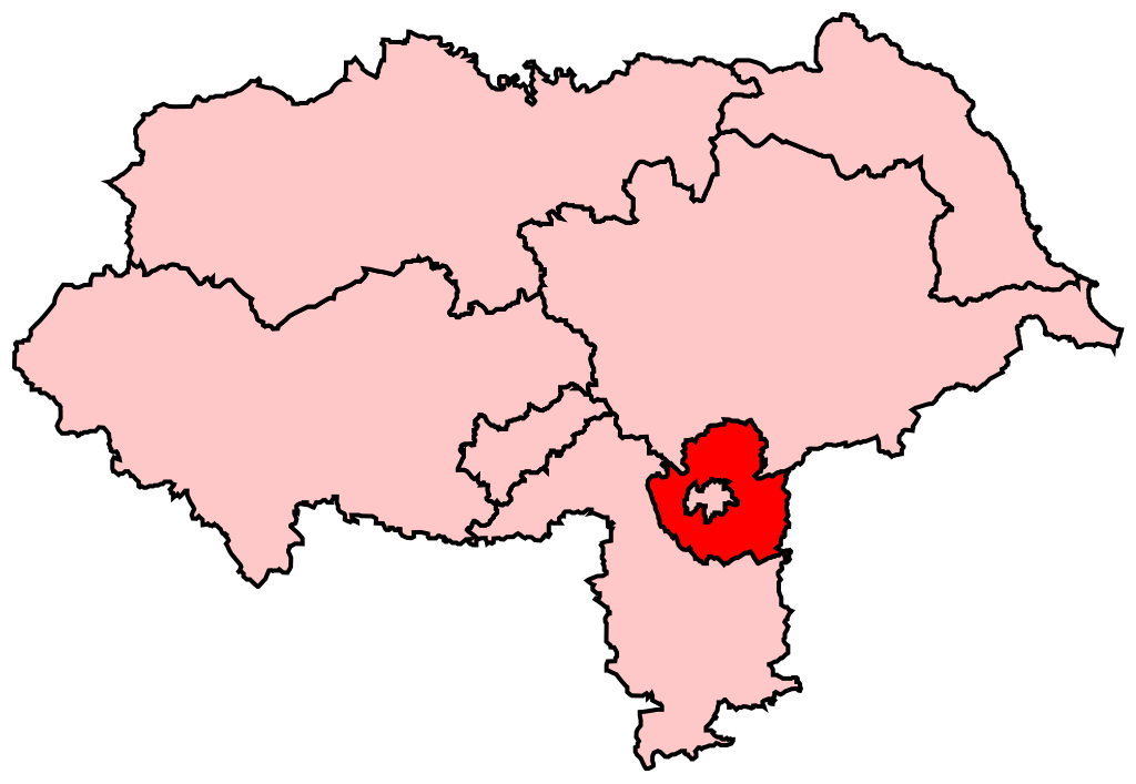
| Description | Map of the new UK Parliament constituency of York Outer. |
| Date | 5 July 2008 (original upload date) |
| Source | No machine-readable source provided. Own work assumed (based on copyright claims). |
| Author | No machine-readable author provided. Wereon assumed (based on copyright claims). |
Licensing
| I, the copyright holder of this work, release this work into the public domain. This applies worldwide. In some countries this may not be legally possible; if so: I grant anyone the right to use this work for any purpose, without any conditions, unless such conditions are required by law. |
File history
Click on a date/time to view the file as it appeared at that time.
| Date/Time | Thumbnail | Dimensions | User | Comment | |
|---|---|---|---|---|---|
| current | 15:02, 5 July 2008 | | 257 × 177 (154 KB) | Wereon | {{Information |Description= |Source= |Date= |Author= |Permission= |other_versions= }} |
| 14:32, 5 July 2008 |  | 205 × 141 (154 KB) | Wereon | == Summary == Map of the new UK Parliament constituency of York Outer. == Licensing == {{PD-self}} Category:Locator maps of parliamentary constituencies of North Yorkshire {{ImageUpload|basic}} |
File usage
No pages on the English Wikipedia use this file (pages on other projects are not listed).
Global file usage
The following other wikis use this file:
- Usage on fr.wiki.x.io
- Usage on ko.wiki.x.io
- Usage on pl.wiki.x.io
- Usage on zh.wiki.x.io