
Size of this preview: 765 × 600 pixels. Other resolutions: 306 × 240 pixels | 612 × 480 pixels | 980 × 768 pixels | 1,280 × 1,004 pixels | 2,000 × 1,568 pixels.
Original file (2,000 × 1,568 pixels, file size: 194 KB, MIME type: image/png)
| This is a file from the Wikimedia Commons. Information from its description page there is shown below. Commons is a freely licensed media file repository. You can help. |
Summary
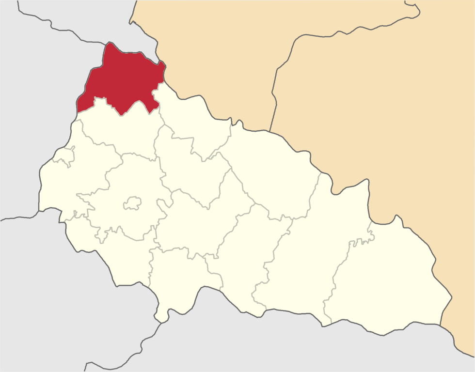
| Description | Velykobereznyanskyi-Raion map | ||
| Date | |||
| Source | Olegzima | ||
| Author | |||
| Permission (Reusing this file) |
|
Licensing
| I, the copyright holder of this work, release this work into the public domain. This applies worldwide. In some countries this may not be legally possible; if so: I grant anyone the right to use this work for any purpose, without any conditions, unless such conditions are required by law. |
File history
Click on a date/time to view the file as it appeared at that time.
| Date/Time | Thumbnail | Dimensions | User | Comment | |
|---|---|---|---|---|---|
| current | 17:29, 11 June 2015 | | 2,000 × 1,568 (194 KB) | Andrew J.Kurbiko | upd |
| 17:49, 14 January 2007 |  | 390 × 314 (50 KB) | Olegzima | {{Image |Name= Velykobereznyanskyi-Raion |Description= map |Author= Olegzima |Source= Olegzima |Date= Jan 2007 |Licensing= {{PD}} }} Category:Raions_of_Zakarpattia_Oblast |
File usage
The following pages on the English Wikipedia use this file (pages on other projects are not listed):
Global file usage
The following other wikis use this file:
- Usage on be-tarask.wiki.x.io
- Usage on de.wiki.x.io
- Usage on eo.wiki.x.io
- Uĵok
- Kostrina
- Viŝka
- Volosjanka
- Domaŝin
- Silj
- Roztocka Pastilj
- Verĥovina-Bistra
- Tiĥij
- Luh
- Ĵornava
- Zahorb (Velikij Bereznij)
- Zavosina
- Knjahinja
- Striĉava
- Kosteva Pastilj
- Kostrinska Roztoka
- Lubnja
- Stavne
- Ljuta
- Mirĉa
- Ruskij Moĉar
- Smerekovo
- Stuĵicja
- Suĥij (Velikij Bereznij)
- Ĉornoholova
- Zabridj (Velikij Bereznij)
- Usage on es.wiki.x.io
- Usage on fa.wiki.x.io
- Usage on hu.wiki.x.io
- Usage on hy.wiki.x.io
- Usage on ka.wiki.x.io
- Usage on lv.wiki.x.io
- Usage on rue.wiki.x.io
- Usage on ru.wiki.x.io
- Usage on sco.wiki.x.io
- Usage on sk.wiki.x.io
- Usage on uk.wiki.x.io
- Usage on uk.wikisource.org
- Usage on uz.wiki.x.io
- Usage on vi.wiki.x.io
- Usage on www.wikidata.org
- Usage on zh-min-nan.wiki.x.io
- Usage on zh.wiki.x.io