Size of this PNG preview of this SVG file: 800 × 568 pixels. Other resolutions: 320 × 227 pixels | 640 × 454 pixels | 1,024 × 726 pixels | 1,280 × 908 pixels | 2,560 × 1,816 pixels | 2,354 × 1,670 pixels.
Original file (SVG file, nominally 2,354 × 1,670 pixels, file size: 1,019 KB)
File history
Click on a date/time to view the file as it appeared at that time.
| Date/Time | Thumbnail | Dimensions | User | Comment | |
|---|---|---|---|---|---|
| current | 11:20, 2 June 2018 |  | 2,354 × 1,670 (1,019 KB) | RaviC | size of scheme |
| 10:59, 2 June 2018 |  | 2,354 × 1,670 (1,017 KB) | RaviC | Bold text | |
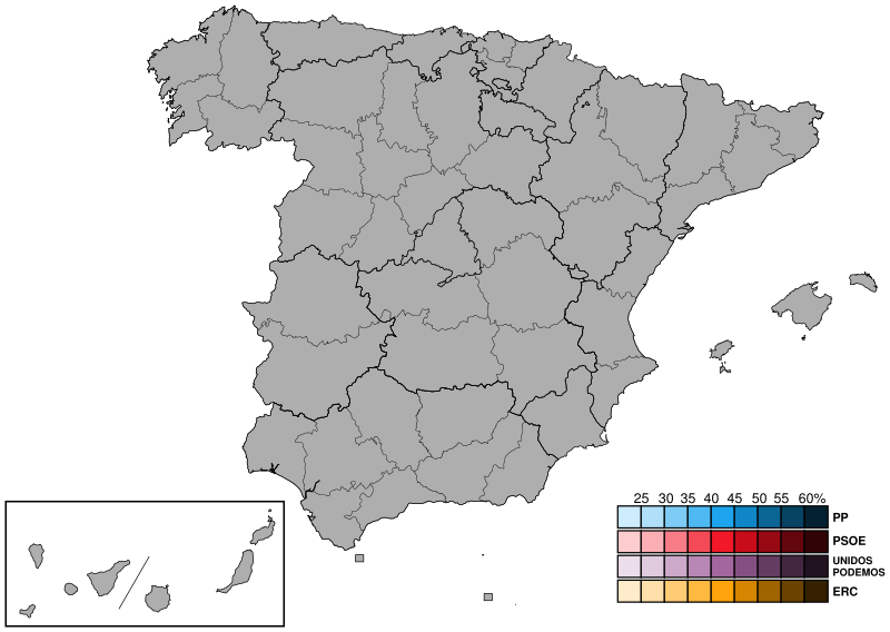
| 10:55, 2 June 2018 |  | 2,354 × 1,670 (1,017 KB) | RaviC | =={{int:filedesc}}== {{Information |description={{en|1=Map showing the provinces of Spain to replace File:SpainProvinceMapBlank.png. Added colour scheme. Derivative of File:España-loc.svg (Miguillen)}} |date=2018-06-02 |source={{own}} |author=RaviC |permission= |other versions= }} =={{int:license-header}}== {{self|cc-by-sa-4.0}} Category:Political maps of Spain Category:Election maps of Spain |
File usage
No pages on the English Wikipedia use this file (pages on other projects are not listed).