.jpg)
.jpg&action=edit&redlink=1)

Size of this preview: 800 × 533 pixels. Other resolutions: 320 × 213 pixels | 640 × 427 pixels | 1,024 × 683 pixels | 1,280 × 853 pixels | 2,560 × 1,707 pixels | 4,272 × 2,848 pixels.
Original file (4,272 × 2,848 pixels, file size: 3.4 MB, MIME type: image/jpeg)
| This is a file from the Wikimedia Commons. Information from its description page there is shown below. Commons is a freely licensed media file repository. You can help. |
.jpg)
Summary
| Description |
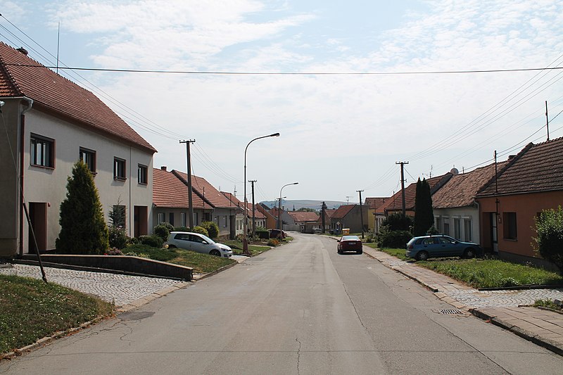
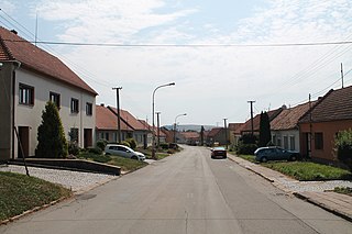
Čeština: Náves, Královopolské Vážany, Rousínov, okres Vyškov
English: Královopolské Vážany, Rousínov, Vyškov District, Czech Republic
|
||||
| Date | |||||
| Source | Own work | ||||
| Author | Harold |
.jpg¶ms=049.213692_N_0016.869534_E_globe:Earth_type:camera_region:CZ_heading:135.00&language=en)
Licensing
This file is licensed under the Creative Commons Attribution-Share Alike 3.0 Unported license.
- You are free:
- to share – to copy, distribute and transmit the work
- to remix – to adapt the work
- Under the following conditions:
- attribution – You must give appropriate credit, provide a link to the license, and indicate if changes were made. You may do so in any reasonable manner, but not in any way that suggests the licensor endorses you or your use.
- share alike – If you remix, transform, or build upon the material, you must distribute your contributions under the same or compatible license as the original.
File history
Click on a date/time to view the file as it appeared at that time.
| Date/Time | Thumbnail | Dimensions | User | Comment | |
|---|---|---|---|---|---|
| current | 17:51, 8 November 2017 | | 4,272 × 2,848 (3.4 MB) | Harold | VicuñaUploader 1.23 |
File usage
The following pages on the English Wikipedia use this file (pages on other projects are not listed):
.jpg)