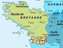
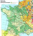
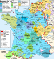
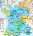
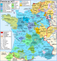
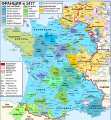
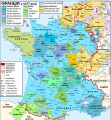
Pays_de_Retz.jpg (222 × 171 pixels, file size: 10 KB, MIME type: image/jpeg)
File history
Click on a date/time to view the file as it appeared at that time.
| Date/Time | Thumbnail | Dimensions | User | Comment | |
|---|---|---|---|---|---|
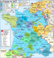
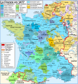
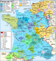
| current | 22:42, 24 January 2009 |  | 222 × 171 (10 KB) | Paul Barlow | {{Information |Description= |Source= |Date= |Author= |Permission= |other_versions= }} |
| 21:19, 4 August 2008 |  | 226 × 173 (11 KB) | Paul Barlow | ||
| 17:27, 4 August 2008 |  | 226 × 173 (10 KB) | Paul Barlow | == Description == {{Information |Description= {{en|Map of the France in 1477.}} {{fr|Carte de la France en 1477.}} |Source= {{en|Own work. Image renamed from Image:Map France History XVe.svg. Data: # Map “[[:Image:France XVe siècle.jpg|France in t |
File usage
The following page uses this file:
