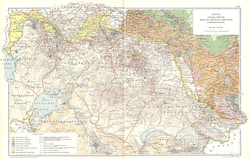
Size of this preview: 800 × 513 pixels. Other resolutions: 320 × 205 pixels | 640 × 411 pixels | 1,024 × 657 pixels | 1,280 × 822 pixels | 2,560 × 1,643 pixels | 4,593 × 2,948 pixels.
Original file (4,593 × 2,948 pixels, file size: 3.14 MB, MIME type: image/jpeg)
Summary
edit
| Description |
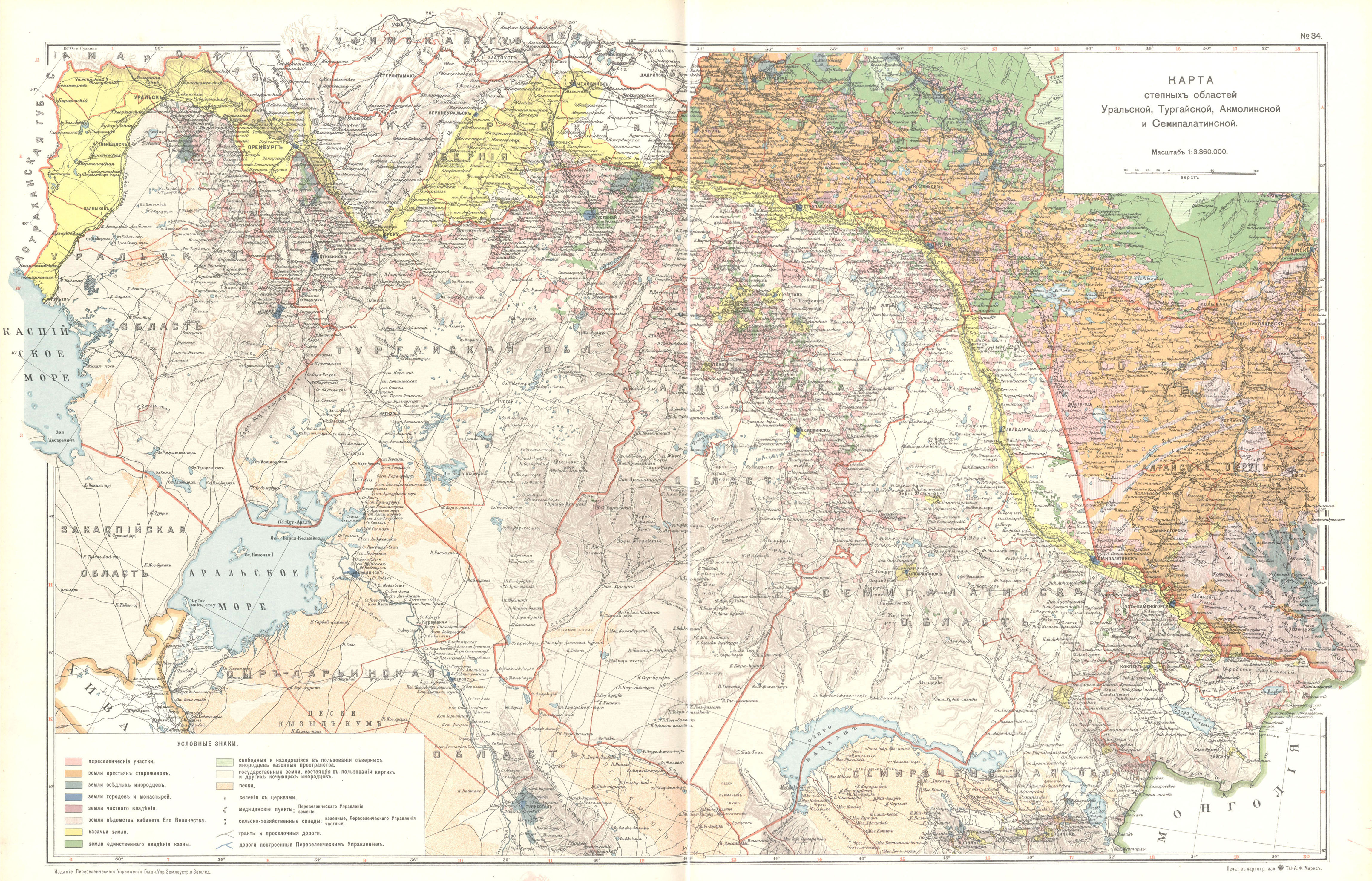
Map of the area of modern Kazakhstan from 1914 |
|---|---|
| Source |
Original publication: 1914 |
| Date |
1914 |
| Author |
G. V. Glinka, I. I. Tkhorzhevsky, M. A. Tsvetkov |
| Permission (Reusing this file) |
Taken from a 1914 Russian atlas,now out of copyright
|
Licensing
edit
This image is in the public domain in the United States because
|
This file is believed to be out of copyright in its home country, as well as the US. If this is confirmed when checked, it should be transferred to Wikimedia Commons, unless the file is tagged {{Keep Local}}
File history
Click on a date/time to view the file as it appeared at that time.
| Date/Time | Thumbnail | Dimensions | User | Comment | |
|---|---|---|---|---|---|
| current | 14:19, 5 September 2020 | | 4,593 × 2,948 (3.14 MB) | WisDom-UK (talk | contribs) | Uploading an old public-domain work using File Upload Wizard |
You cannot overwrite this file.
File usage
The following pages on the English Wikipedia use this file (pages on other projects are not listed):