
Size of this preview: 800 × 579 pixels. Other resolutions: 320 × 232 pixels | 640 × 463 pixels | 1,024 × 741 pixels | 1,280 × 926 pixels | 2,560 × 1,853 pixels | 8,016 × 5,802 pixels.
Original file (8,016 × 5,802 pixels, file size: 2.62 MB, MIME type: image/jpeg)
| This is a file from the Wikimedia Commons. Information from its description page there is shown below. Commons is a freely licensed media file repository. You can help. |
Summary
| Description |
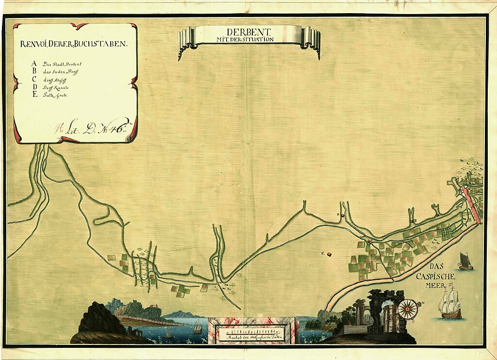
English: Map of Derbent. The map was likely created during the Russian occupation of Derbent 1722-1735. |
||||||||||||||||||||||||||
| Date | First half of the 18th century | ||||||||||||||||||||||||||
| Source |
Utländska stads- och fästningsplaner, Derbend, SE/KrA/0406/09/022/001, bildid: K0004868_00001 https://sok.riksarkivet.se/bildvisning/K0004868_00001 |
||||||||||||||||||||||||||
| Permission (Reusing this file) |
|
||||||||||||||||||||||||||
| Georeferencing | If inappropriate please set warp_status = skip to hide. | ||||||||||||||||||||||||||
| Other versions | |||||||||||||||||||||||||||


.jpg)
.jpg&action=edit&redlink=1)
.jpg)
Licensing
|
This work is in the public domain in its country of origin and other countries and areas where the copyright term is the author's life plus 70 years or fewer. | |
| This file has been identified as being free of known restrictions under copyright law, including all related and neighboring rights. | |
Unknown author
File history
Click on a date/time to view the file as it appeared at that time.
| Date/Time | Thumbnail | Dimensions | User | Comment | |
|---|---|---|---|---|---|
| current | 15:02, 8 December 2023 | | 8,016 × 5,802 (2.62 MB) | DivadH | File:Map of Derbent.jpg cropped < 1 % horizontally, 6 % vertically using CropTool with precise mode. |
File usage
The following page uses this file:
Global file usage
The following other wikis use this file:
- Usage on tr.wiki.x.io
.jpg)