Size of this preview: 504 × 600 pixels. Other resolutions: 202 × 240 pixels | 600 × 714 pixels.
Original file (600 × 714 pixels, file size: 425 KB, MIME type: image/png)
| This is a file from the Wikimedia Commons. Information from its description page there is shown below. Commons is a freely licensed media file repository. You can help. |
Summary
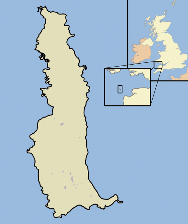
| Description | A map of the Island of Lundy, in the Bristol Channel, part of the United Kingdom |
| Date | |
| Source | self-made, using Adobe Illustrator and Photoshop |
| Author | Jhamez84 |
Licensing
| I, the copyright holder of this work, release this work into the public domain. This applies worldwide. In some countries this may not be legally possible; if so: I grant anyone the right to use this work for any purpose, without any conditions, unless such conditions are required by law. |
File history
Click on a date/time to view the file as it appeared at that time.
| Date/Time | Thumbnail | Dimensions | User | Comment | |
|---|---|---|---|---|---|
| current | 22:46, 17 October 2007 | | 600 × 714 (425 KB) | Jza84 | {{Information |Description=A map of the Island of Lundy, in the English Channel, part of the United Kingdom |Source=self-made, using Adobe Illustrator and Photoshop |Date=October 2007 |Author= Jhamez84 }} |
File usage
The following 2 pages use this file:
Global file usage
The following other wikis use this file:
- Usage on ar.wiki.x.io
- Usage on ca.wiki.x.io
- Usage on cs.wiki.x.io
- Usage on de.wiki.x.io
- Usage on en.wikivoyage.org
- Usage on eo.wiki.x.io
- Usage on es.wiki.x.io
- Usage on eu.wiki.x.io
- Usage on fi.wiki.x.io
- Usage on fr.wiki.x.io
- Usage on fr.wiktionary.org
- Usage on ga.wiki.x.io
- Usage on it.wiki.x.io
- Usage on ja.wiki.x.io
- Usage on ko.wiki.x.io
- Usage on pl.wiki.x.io
- Usage on pt.wiki.x.io
- Usage on ru.wiki.x.io
- Usage on sco.wiki.x.io
- Usage on uk.wiki.x.io
- Usage on www.wikidata.org
- Usage on zh.wiki.x.io