
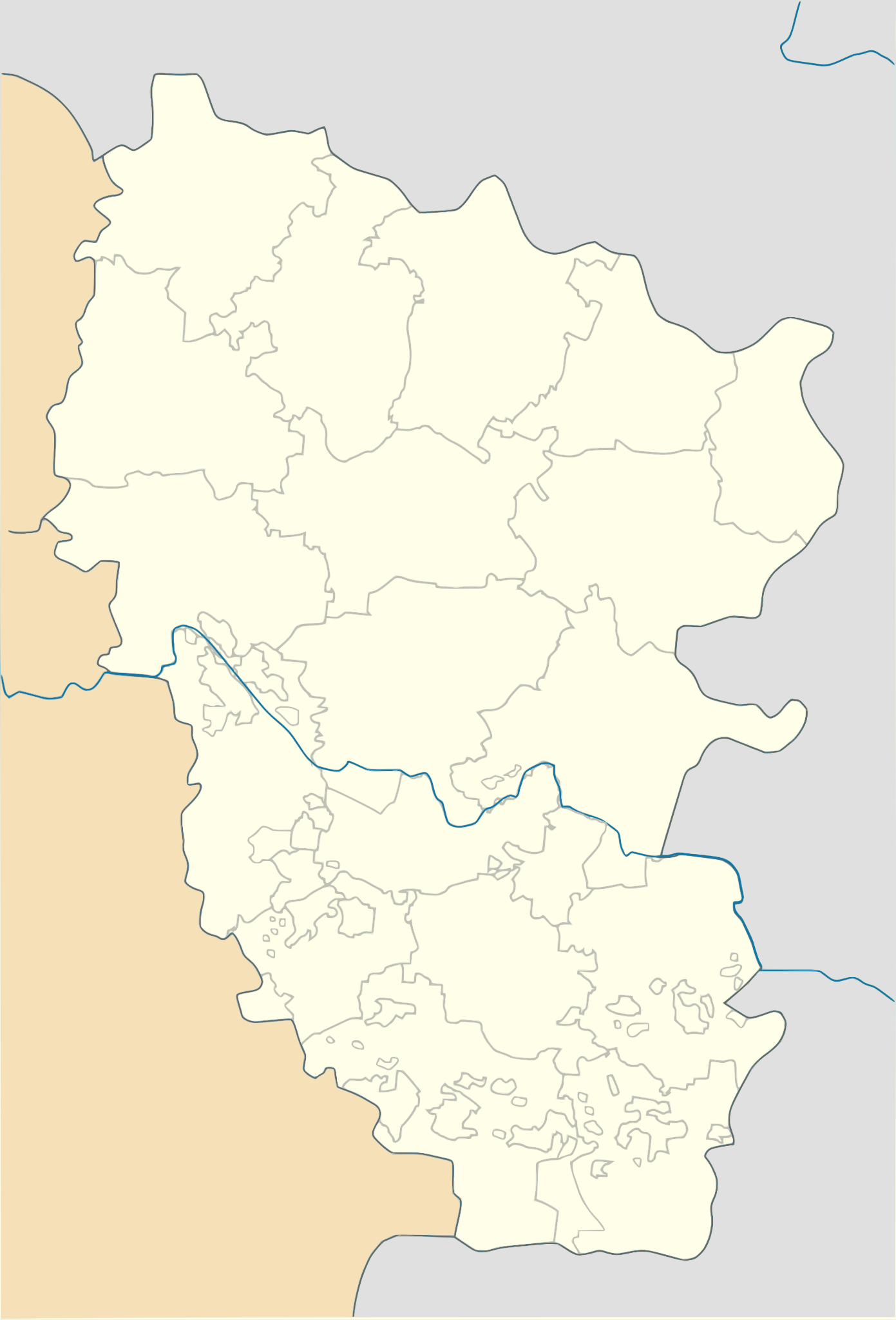
Size of this PNG preview of this SVG file: 407 × 599 pixels. Other resolutions: 163 × 240 pixels | 326 × 480 pixels | 522 × 768 pixels | 696 × 1,024 pixels | 1,391 × 2,048 pixels | 1,087 × 1,600 pixels.
Original file (SVG file, nominally 1,087 × 1,600 pixels, file size: 827 KB)
| This is a file from the Wikimedia Commons. Information from its description page there is shown below. Commons is a freely licensed media file repository. You can help. |
Summary
| Description |
Українська: Позиційна карта Луганської області, Україна English: Location map of Lugansk province, Ukraine
Русский: Позиционная карта Луганской области, Украина |
| Date | |
| Source | Own work |
| Author | Urutseg |
Licensing
| I, the copyright holder of this work, release this work into the public domain. This applies worldwide. In some countries this may not be legally possible; if so: I grant anyone the right to use this work for any purpose, without any conditions, unless such conditions are required by law. |
File history
Click on a date/time to view the file as it appeared at that time.
| Date/Time | Thumbnail | Dimensions | User | Comment | |
|---|---|---|---|---|---|
| current | 18:09, 23 August 2019 | | 1,087 × 1,600 (827 KB) | Dim Grits | Borders of Raions. |
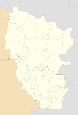
| 17:04, 4 October 2017 |  | 538 × 792 (261 KB) | Augustus-ua | кордони новоайдарського і перевальського р-нів | |
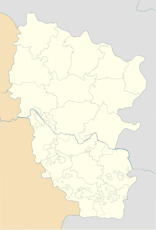
| 09:21, 29 June 2014 |  | 538 × 792 (274 KB) | קרלוס הגדול | lighter borders between provinces | |
| 16:22, 4 December 2010 |  | 538 × 792 (274 KB) | Urutseg | == Summary == {{Information |Description={{en|1=Location map of Lugansk province, Ukraine}} {{ru|1=Позиционная карта Луганской области, Украина}} |Source={{own}} |Author=Urutseg |Date=2010-12-04 |Per |
File usage
The following pages on the English Wikipedia use this file (pages on other projects are not listed):
Global file usage
The following other wikis use this file:
- Usage on ar.wiki.x.io
- Usage on bg.wiki.x.io
- Usage on bn.wiki.x.io
- Usage on bs.wiki.x.io
- Usage on cs.wiki.x.io
- Usage on de.wiki.x.io
- Usage on es.wiki.x.io
- Usage on et.wiki.x.io
- Usage on fa.wiki.x.io
- Usage on he.wiki.x.io
- Usage on ja.wiki.x.io
- Usage on ka.wiki.x.io
View more global usage of this file.