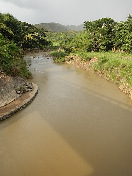
English: UploadWizard photos -- (General description, 3-dimension angle by angle photography of this town, church & landmarks) --Dupax del Norte, Nueva Vizcaya
[1] - Scenery and landmarks --- after District Highway Boundary S00879LZ: DM Junction: Malasin Road KO 252+764, the Welcome Sign Boundary of Barangay Lamo to Barangay Malasin and neighbor, Bambang, Nueva Vizcaya - Lamo Bridge KO 252-595, Dupax del Norte National High School, --- Dupax del Norte, Nueva Vizcaya
[2] [3] Land Area: 347.30 km² ZIP Code: 3706 a 3rd class municipality in the province of Nueva Vizcaya,
[4] Philippines; the latest census, it has a population of 23,196 people in 4,771 households; politically subdivided into 15 barangays: Coordinates: 16°10'52"N 121°12'8"E
[5] [6] Coordinates: 16°20'4"N 121°6'33"E
Website & the --- ---- the eponymous Cagayan River
[7] (known as the Rio Grande de Cagayan, is the longest and largest river in the Philippines, located in the Cagayan Valley region in northeastern part of Luzon Island and traverses the provinces of Nueva Vizcaya, Quirino, Isabela and Cagayan) & P21 Million bridge Santa Fe Bridge B0 125 LZ K0 214+ 995 L:25.00 LN M going to Cagayan Valley- Roxas, Tabuk, Tuguegarao, Barangay Poblacion, Santa Fe, Nueva Vizcaya
[8] [9] located along Daang Maharlika or Cagayan Valley Road or Pan-Philippine Highway
[10] the only passageway that links the entire North East Luzon to Metro Manila and Central Luzon. Cagayan Valley
[11]).

