As of September 2024, the copyright and licensing status of this file is under review.
A Commons contributor has asserted in good faith that this file is in the public domain either because:
it is a work of the National Weather Service, and as a work of the US Federal Government, ineligible for copyright or
a third party might have submitted it to a National Weather Service regional office under terms and conditions that placed it in the public domain. For example, the La Crosse, Louisville, Norman, Omaha, Peachtree City, and Sioux Falls offices are known to have had such terms and conditions for certain contests and other public outreach at various points in time (see here for a complete list) or
it is free of copyright for some other reason (for example, it contains no copyrightable elements, or its copyright has expired)
If, during review, this file is found to be in the public domain or available under a free license, a new rationale will be applied as part of the review process and this notice will no longer be displayed. Files that cannot be established with reasonable certainty to be in the public domain or available under a free license will be deleted.
If uploading a third-party file hosted on an NWS site or channel, use {{PD-NWS-third party}} instead
Before re-using this file You must verify that at least one of the above conditions is true.
In particular, if the file was created by a third party, verify that the specific terms and conditions under which its creator submitted it to the NWS included an explicit release of the file into the public domain. Read such terms and conditions carefully; at least one of these (Omaha) contains one option which would place the file into the public domain and another option which would not.
If you cannot verify the terms and conditions that applied to the submission, or these terms and conditions did not contain an explicit release into the public domain, contact the creator of the file and ask their permission to re-use it. If you are unable to verify that this file is in the public domain or available under a free license, please consider nominating this file for deletion.
See below for the original rationale for asserting that this file is in the Public Domain.
Original public domain rationale
Public domainPublic domainfalsefalse
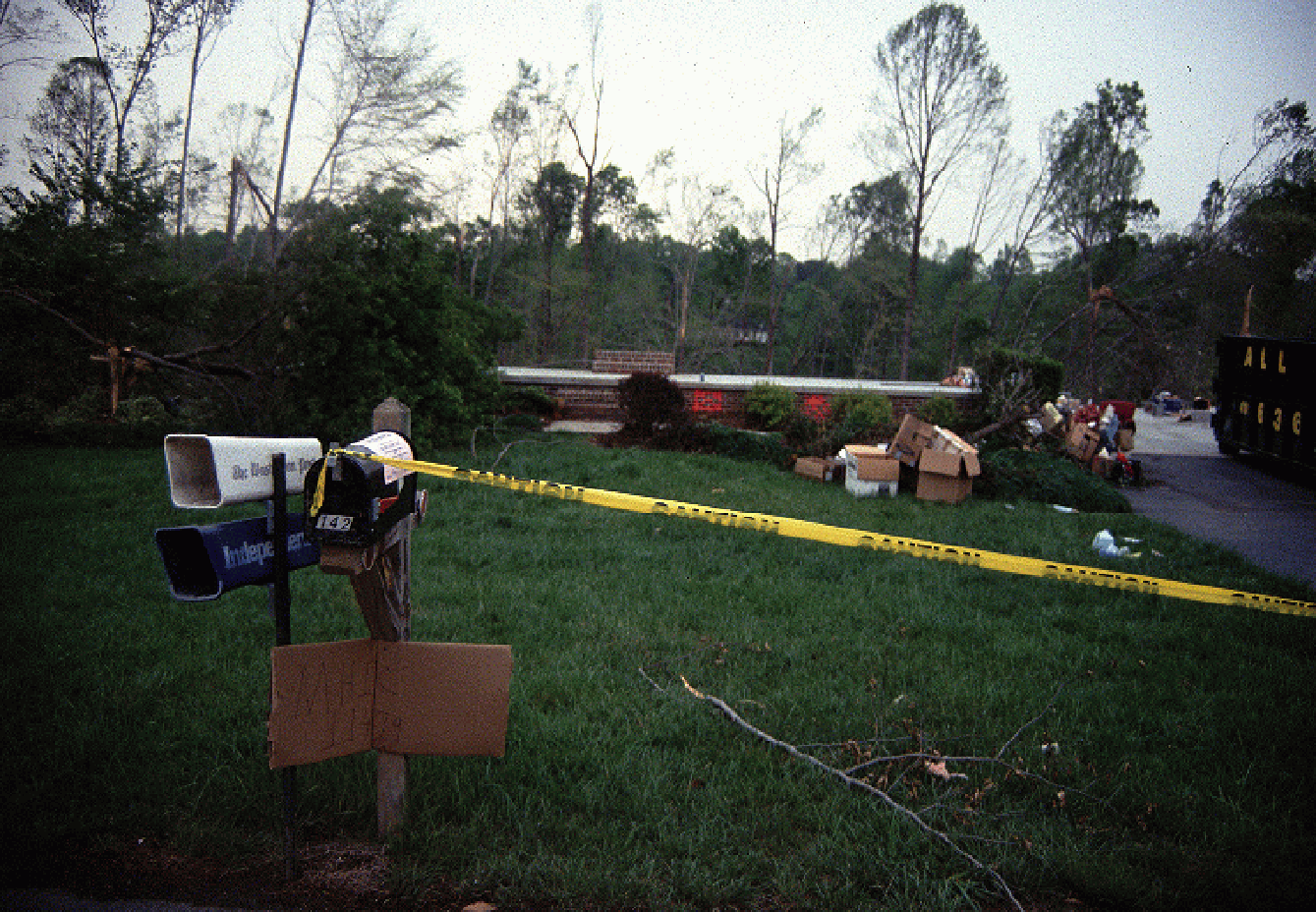
This image is in the public domain because it was stored on the web servers of the U.S. National Weather Service. NWS-created images are automatically public domain in the U.S. since the NWS is a part of the U.S. government. However, the NWS sites also host non-NWS images which have been submitted by individuals: these are generally shown as "Courtesy of ...". Such images have explicitly been released to the public domain by the copyright owner as part of the upload process.
As stated at https://www.weather.gov/disclaimer/: "The information on National Weather Service Web servers and Web sites is in the public domain, unless specifically annotated otherwise, and may be used freely by the public."
As stated at https://www.weather.gov/fsd/disclaimer: "By submitting images, you understand that your image is being released into the public domain. This means that your photo or video may be downloaded, copied, and used by others."