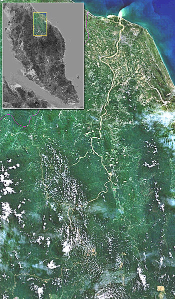
Size of this preview: 350 × 599 pixels. Other resolutions: 140 × 240 pixels | 533 × 912 pixels.
Original file (533 × 912 pixels, file size: 467 KB, MIME type: image/jpeg)
| This is a file from the Wikimedia Commons. Information from its description page there is shown below. Commons is a freely licensed media file repository. You can help. |
Summary

|
This file was moved to Wikimedia Commons from en.wikipedia using a bot script. All source information is still present. It requires review. Additionally, there may be errors in any or all of the information fields; information on this file should not be considered reliable and the file should not be used until it has been reviewed and any needed corrections have been made. Once the review has been completed, this template should be removed. For details about this file, see below. Check now! |
| Description |
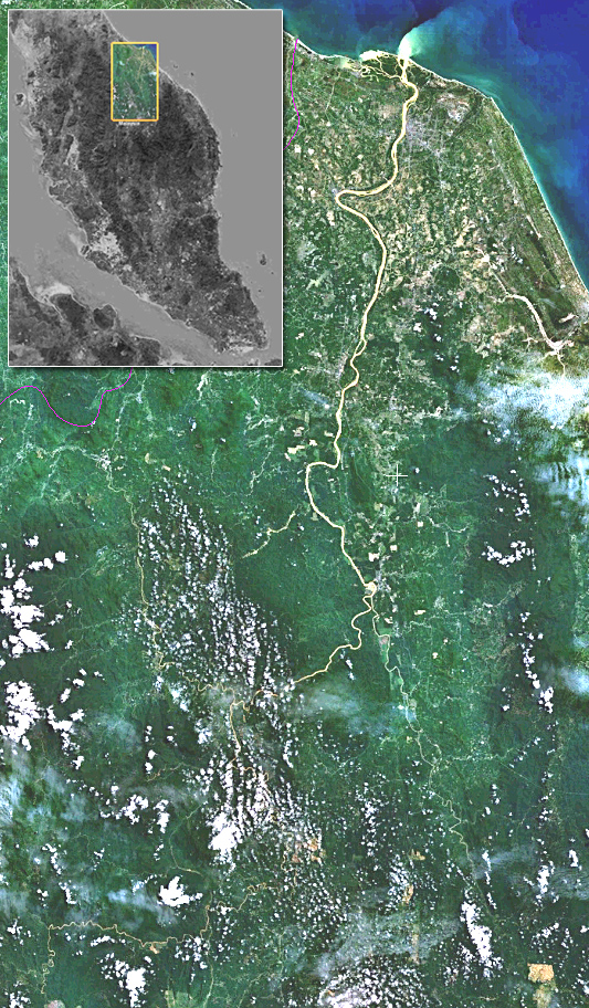
English: Image composed of screenshots from WorldWind using Landsat7 imagery. The website says "The Landsat Global Mosaic, Blue Marble, and the USGS raster maps and images are all Public Domain." (http://www.worldwindcentral.com/wiki/World_Wind_FAQ) |
| Source | NASA |
| Author | NASA |
Licensing
| This image is in the public domain because it is a screenshot from NASA’s globe software World Wind using a public domain layer, such as Blue Marble, MODIS, Landsat, SRTM, USGS or GLOBE.
|
 |
Original upload log
The original description page was here. All following user names refer to en.wikipedia.
- 2006-04-17 07:55 Euchiasmus 533×912× (478201 bytes) Image composed of screenshots from WorldWind using Landsat7 imagery. The website says "The Landsat Global Mosaic, Blue Marble, and the USGS raster maps and images are all Public Domain." (http://www.worldwindcentral.com/wiki/World_Wind_FAQ)
File history
Click on a date/time to view the file as it appeared at that time.
| Date/Time | Thumbnail | Dimensions | User | Comment | |
|---|---|---|---|---|---|
| current | 20:12, 27 January 2011 | | 533 × 912 (467 KB) | File Upload Bot (Magnus Manske) | {{BotMoveToCommons|en.wikipedia|year={{subst:CURRENTYEAR}}|month={{subst:CURRENTMONTHNAME}}|day={{subst:CURRENTDAY}}}} {{Information |Description={{en|Image composed of screenshots from WorldWind using Landsat7 imagery. The website says "The Landsat Glob |
File usage
The following 2 pages use this file:
Global file usage
The following other wikis use this file:
- Usage on ar.wiki.x.io
- Usage on de.wiki.x.io
- Usage on ms.wiki.x.io
- Usage on ru.wiki.x.io
- Usage on ta.wiki.x.io
- Usage on th.wiki.x.io
- Usage on tr.wiki.x.io
- Usage on www.wikidata.org
- Usage on zh.wiki.x.io