Size of this preview: 800 × 479 pixels. Other resolutions: 320 × 192 pixels | 640 × 383 pixels | 1,024 × 614 pixels | 1,280 × 767 pixels | 2,400 × 1,438 pixels.
Original file (2,400 × 1,438 pixels, file size: 430 KB, MIME type: image/png)
File history
Click on a date/time to view the file as it appeared at that time.
| Date/Time | Thumbnail | Dimensions | User | Comment | |
|---|---|---|---|---|---|
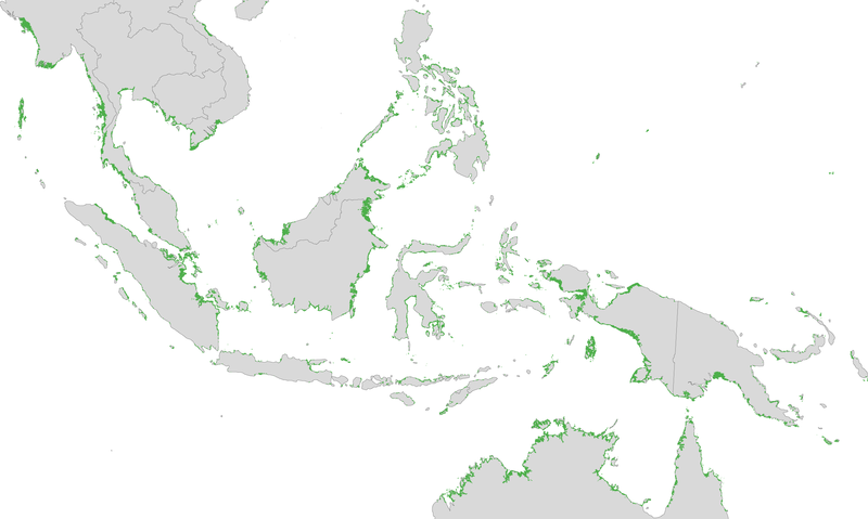
| current | 12:42, 30 November 2010 |  | 2,400 × 1,438 (430 KB) | Originalwana | {{Information |Description={{en|1=Location and relative density of mangroves in Indonesia.}} |Source=[http://earthobservatory.nasa.gov/IOTD/view.php?id=47427 NASA Earth Observatory] |Author=Jesse Allen |Date=2010-11-30 |Permission= | |
File usage
The following page uses this file:

