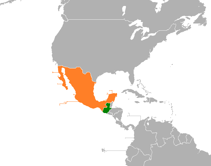
Guatemala_Mexico_Locator.png (712 × 558 pixels, file size: 12 KB, MIME type: image/png)
File history
Click on a date/time to view the file as it appeared at that time.
| Date/Time | Thumbnail | Dimensions | User | Comment | |
|---|---|---|---|---|---|
| current | 08:01, 7 April 2019 |  | 712 × 558 (12 KB) | Fobos92 | . |
| 02:26, 26 July 2017 |  | 403 × 605 (17 KB) | Aquintero82 | Updated map | |
| 00:44, 18 April 2015 |  | 1,425 × 625 (64 KB) | Aquintero82 | Changed map | |
| 13:47, 20 November 2014 |  | 403 × 605 (17 KB) | Aquintero82 | New map | |
| 20:20, 28 June 2014 |  | 1,425 × 625 (63 KB) | Aquintero82 | Changed color | |
| 17:26, 7 May 2013 |  | 1,425 × 625 (57 KB) | Aquintero82 | User created page with UploadWizard |
File usage
The following 2 pages use this file:
Global file usage
The following other wikis use this file:
- Usage on es.wiki.x.io
- Usage on fa.wiki.x.io
- Usage on fr.wiki.x.io
- Usage on he.wiki.x.io
- Usage on ru.wiki.x.io
- Usage on www.wikidata.org
